Yesterday I was able to get out and hike. There's a new preserve in the
north part of Etiwanda with hiking trails in it and I wanted to see what it was like. Last weekend would have been a better weekend to go because of the weather, but I was busy then. We had rain earlier in the week, but it's been in the 90s the past couple of days. Since the Tadpole was just going as a spectator to his cross country meet this weekend, it was the perfect opportunity to get out and cache.
I took him to school to catch his bus, then came back home, loaded up the GPSr, grabbed the gear that I needed and drove the 15 miles over to this preserve. In the link I provided, the pictures show at least 4, possibly five, cache sites that I visited yesterday. I found 12 caches yesterday and DNFed 5 others, of which I'm relatively sure that 4 of them are there. I just didn't do a good enough job of scouring the area to get the cache.
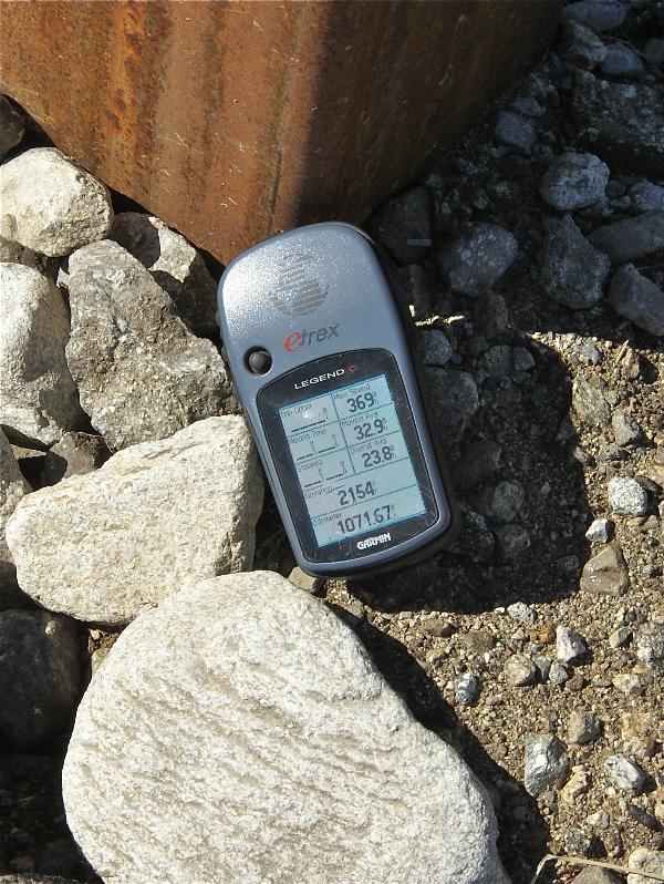
The preserve's main loop trail is 3.25 miles in length and has mile post markers every quarter of a mile. Each of these markers also have elevation listed on them. Now I know that GPS accuracy can vary greatly depending upon where you happen to be, but this marker was out in the open without any kind of tree cover or interference, so I figured I'd get pretty good readings and as you can see I did.
Since I posted several DNFs out there yesterday, I expect to be back in that park again. There were other spots to hide caches on the trail. Had I known a little bit more about this park, I might have been tempted to bring a cache with me to hide. I might still do that since I found several nice spots along the trail where a cache would probably do well.
Pictures were taken at or near the following geocache:
NEP #12 - by the4dirtydogs


No comments:
Post a Comment