In the main forum a question was posted about how many caches have you found in one day. I gave a three part answer.
 With a group? 37
With one other person? 31
By myself? 26
Obviously, I do a little of all three types of caching. I think the largest group I went with was following an event where there was a FTF available nearby. Several car loads of people decided to head over there and give it a group effort, especially since several people at the event had already come up empty earlier in the day. We ended up finding the cache, but it took close to a half an hour to come up with this well conceived cache. I’m sure the owner was loving every minute of it, since he and his wife were both there watching the entire process play out in the dwindling twilight of a cool summer’s evening.
Most of the group caching that I’ve done is more on the order of three or four people. There were four people in our group the day that 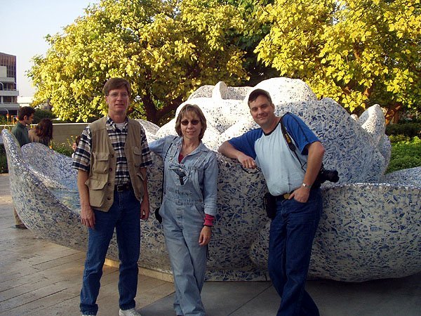 I found my personal best of 37 caches. It was an interesting day, starting out in the morning going after several puzzle caches and some other larger caches. We had decided the area where we were going and each of us independently of the others had solved a puzzle or two, and so we drove around getting the puzzles first, actually bypassing some caches to make sure each person in the group got to find the puzzle they’d solved. After lunch, it became a numbers run to see how many we could get before we ran out of energy. The 37th cache actually became a milestone number for me as well, #900. I wasn’t actually planning on getting that many that particular day, in fact, I would be willing to bet that everyone in the group was surprised by the number that we got. The point is we had fun.
Most of the time, when I get larger numbers like that, it’s usually because I’m caching with one other friend. The particular run where I found 31 c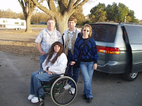 aches was a very quick run, done in about three hours on a Saturday in July. I’m sure we probably could have done a lot more as it was a pure numbers run, but I hadn’t slept well the night before, my PDA had died on me that morning, so I was taking notes longhand and hand inputting coordinates into the GPS. Trying to keep track of all the caches we’d found without the use of my PDA was a logistical nightmare. I was absolutely exhausted after the day was over. I’m pretty sure I slept well that night though. I had fun that day, especially since I was with my friend and so we shared jokes along the way, but it’s not something that I’d care to repeat. 31 caches would be cool, don’t get me wrong, but I’d just like to stretch those 31 caches out over a little longer period of time.
The 26 cache day when I was by myself, was on my roadtrip last weekend. Most of the caches were easy finds, not tak ing too long. Most were of the larger size, there were a few micros thrown in, but for the most part, they were smalls or larger, so the finding was a little bit easier as well. This was an incredibly enjoyable day. The scenery was great, the infamous snake incident occurred during this cache run and there wasn’t any set agenda or time frame that I was stuck with, outside of darkness. It was a fun day.
I guess my point to all of this is that caching can come in many forms. Group caching has its own dynamics which are entirely different than when you’re by yourself or only with one other person. I can remember one group caching effort, my first actually, where I was ready to go home after our first ten caches found. I’d never cached for more than 8 to 10 caches and I had had a great day and was ready to call it quits. My friends 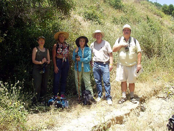 convinced me to come along for the rest of the afternoon and I’m glad I did. We found 10 more caches, two after dark, so I’d discovered another interesting aspect to caching on that group run – night caching.
The planning probably takes a bit more time when you’re going out with someone else, but the benefits of having a partner that shares your passion of caching, that helps you out when there are muggles around and is just there to share stories with you and laughs at your jokes is really priceless. Sometimes going alone is fine, but I’ve found that my most enjoyable times were when I was caching with someone else.
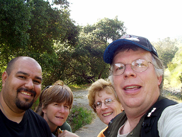
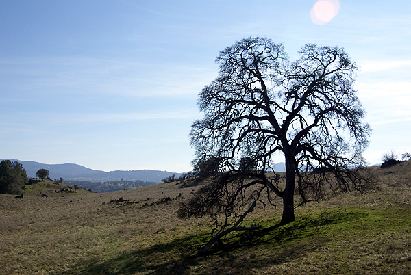
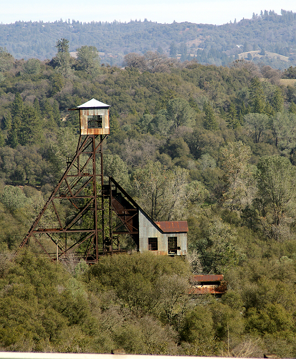
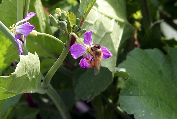
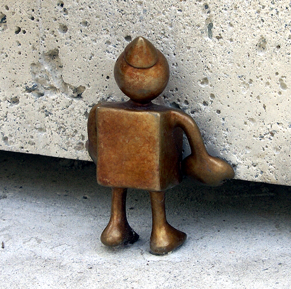
Pictures were taken at or near the following geocaches:
Curiouser and Curiouser - by Terra Girl, Bean Dog, and my faithful sherpa Max
Walt Disney Concert Hall - by EMC of Northridge, CA
Mid-State Parking - by General Grant & The Mad Dog
Sunset Crater - by wolfb8 (libby)
SwitchBACK! - by WestwardHo

 First off, they are not mini-adults and we should not expect the same level of patience that most adults have, although I would suggest that some children have infinitely more patience than some adults, but that’s an entirely different story. The key to caching with kids is to not over do it. Find a hike and make it a short one. Hopefully, there will be more than just one cache along the hike. That was very difficult to do when I first started geocaching back in 2001. There weren’t many caches around and they were mostly hikes and long hikes at that. We found our spots to go caching. Now, it should be much easier for cachers to find hikes that have several treasure chests along the way that the kids can help find and enjoy. It makes the hike not seem as long if there are things to do besides just walking.
  my children, or sometimes pairs of them. But, I have cached with all three of my children together only once. I think once was enough for my then 12 year old daughter. She really didn’t have much of a say so in the matter because we were on a camping trip in
 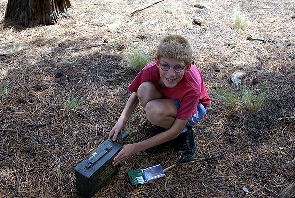 One thing I’ve learned from being around him is you have to have a thick skin because he’s going to call it like he sees it.
 wasn’t a bathroom around for miles. It was then he learned one of the great blessings about being a male: the world can be your bathroom. Most of the rest of the hike, he kept exclaiming, “I can’t believe you let me pee into a bush Dad.” Almost 7 years later, he thinks nothing of going out in the wilderness if he has to go.
 we definitely have our moments. He and I both like to cache during the summertime on our camping trips. Last summer we found 43 caches on a camping trip to


