Wednesday, December 31, 2008

Another planet?

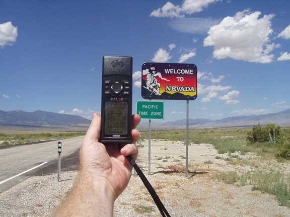
I like to joke with people that I live in the state of confusion, otherwise known as California. A friend of mine suggested that California really is another planet. In some ways, I think he's right. Most of the country is locked up with snow, and while parts of California has had a lot of snow, I went caching in shirt sleeves yesterday. Not too many places in North America when one can go geocaching for an extended period of time on December 30th and not come back without a case of frostbite.


While most of the country tends to get four distinct seasons, here in California, we tend to get three - dry season, fall and wet season. The dry season runs from late March until mid November. It can also be called the fire season. Then we get fall from then until early January, then it's the wet season. Your mileage may vary depending upon where you happen to live in California, but for the most part, that's the way it goes here. I only have to look in my back yard where my silver maple tree is still shedding leaves.

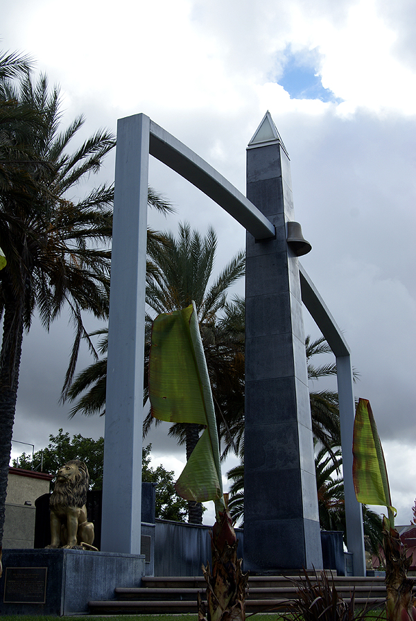
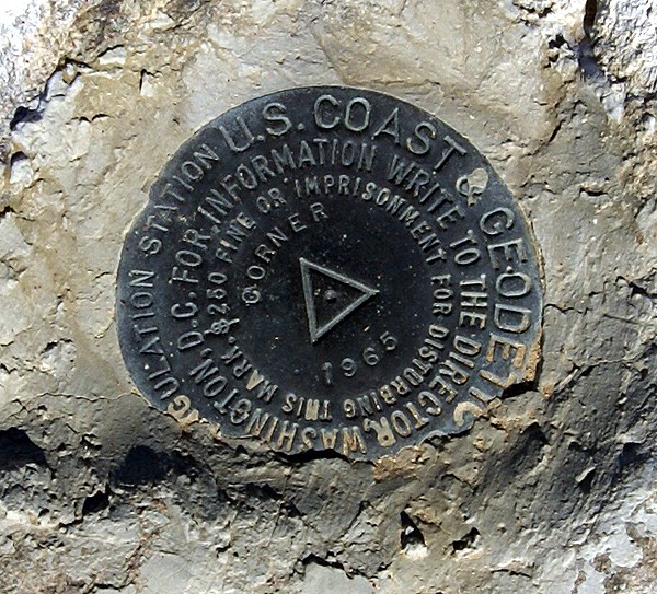
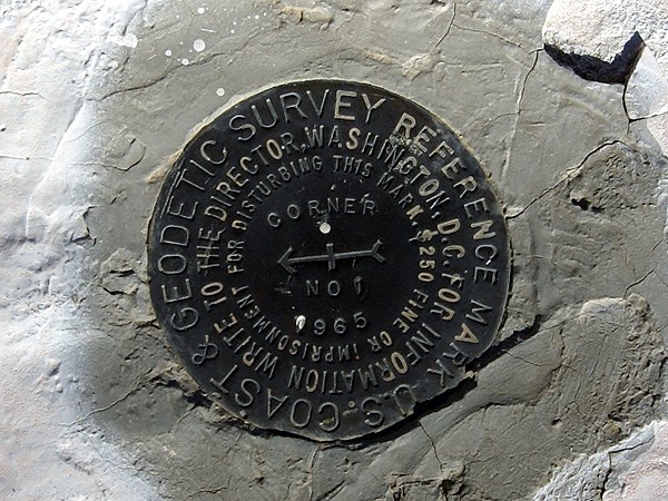
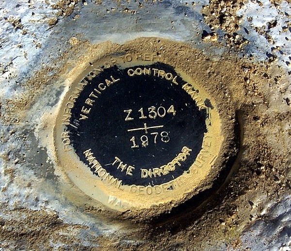
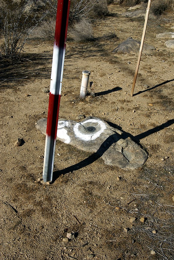
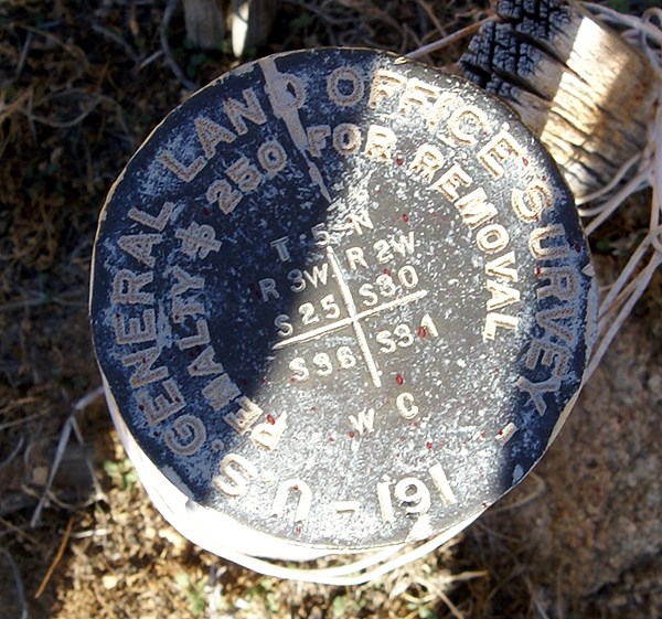
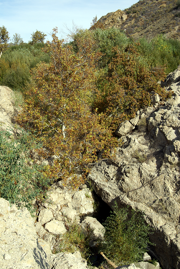
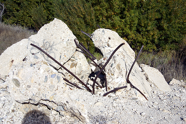
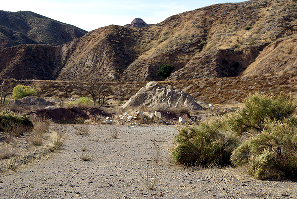
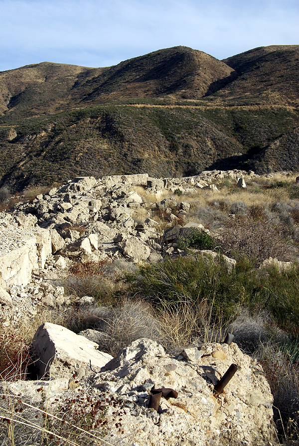
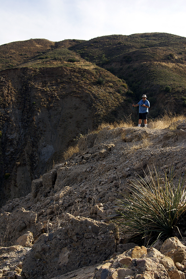
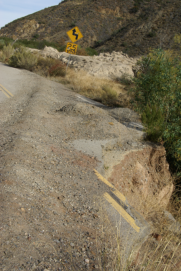
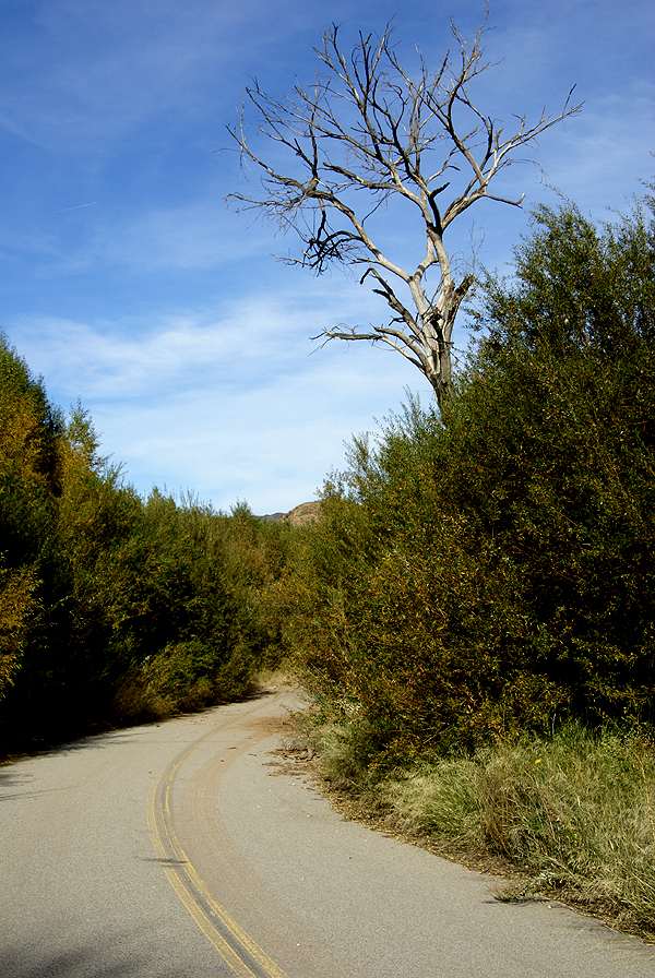
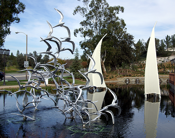
While out caching, we came upon a cache site that led us to some beautiful fall color.
The leaves were a beautiful golden color and anywhere else, one would assume that it was mid September. Cool crisp nights followed by mild days are typical for this time of year. That's us right now, only it's the last day of the year. And yet at the same time we had views of the local mountains covered in snow, indicating that it really is winter up there.

I have to say I'm lucky. Because of where I live, I can get out and cache on a fairly
regular basis without having to worry about the weather. The days of rainy weather are few and far between, while the really cold stuff happens infrequently and isn't much of a bother either. I could just as easily be in Minnesota or Wisconsin as out here had my dad found a teaching job there instead of here back in 1961.

Since the new year is upon us, I want to take part of this time and make my geocaching resolutions for the upcoming year.

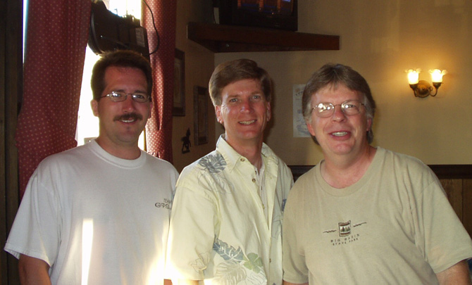
  1. Continue to hide at a rate of 1 to 100 finds. I have 22 hides, with 2306 finds after yesterday's excursion. I'm working on three caches right now that will keep that resolution going up through 2500 finds.
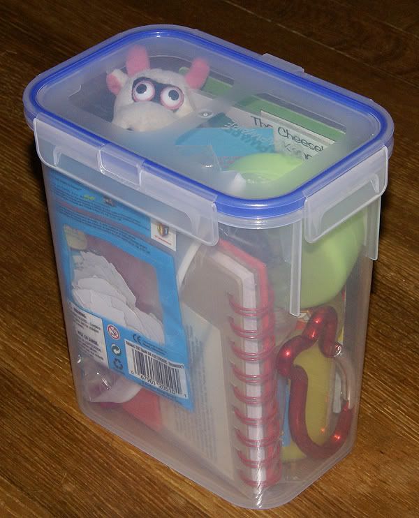
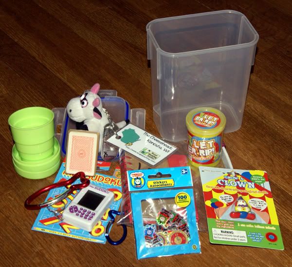
  2. Continue to hide, in my opinion, high quality caches. Nothing teaches more than a good example. If I hide quality caches, then hopefully, it will encourage others to hide quality caches and we won't have as many parking lot lamp post cache hides.
  3. Don't let the hobby interfere with what is really important in life. I have a wife who depends upon me to cook most of our meals in the non-summer months and I have three children who depend upon me to "bring home the bacon" so they can do things, like attend the college of their choice, etc. This hobby is not more important than that.
  4. Keep reminding myself, that it's not about the numbers, although we attach numbers to just about everything we do. Yeah, it's fun to look at how many caches I've found, but it shouldn't be the reason I go out and cache.
  5. Have fun with the hobby. If it becomes a chore, then is it really a hobby anymore? This should be fun and I intend to keep it that way.
Those are my caching resolution for the upcoming 2009 caching year. Happy New Year everyone.

Pictures were taken at or near the following geocaches:
Bison Chips - by TheDeviousMaxPower
View of the Canyon - by jerrytcher

Profile for Webfoot

Saturday, December 27, 2008

Environmental Awareness

This is not what most of you probably think it's about. When I first heard about locationless caches, it was in February 2002, less than a year after I started caching. It was an intriguing concept; find a thing that matches a particular criteria, take a picture with your GPSr, note the coordinates and then post the log with those coordinates and the pictures. Usually, locationless caches had to be unique, so people couldn't log the same thing over and over again. Once someone logged Yosemite Fall in the Beauty of Waterfalls locationless cache, then no one else could log that particular waterfall. Other waterfalls could still be logged, so the longer the caches hung around, the more interesting some of the logs and pictures tended to be because the less famous, yet still beautiful waterfalls started appearing on the cache page.

There were several things that I liked about locationless caches. I may be wrong, but I think you had to have a picture taken at your locationless find in order to get credit for the cache. I liked that, since there was no log book to prove you'd actually found what you were looking for, but there was at least visual evidence. The second reason I liked them was it made me more aware of the environment around me.

Probably the most famous of the locationless caches was Yellow Jeep Fever, where you had to get a picture of your GPSr with a yellow jeep. Sound easy? Not really. I can remember right after I discovered locationless caches, I was driving up to Lake Arrowhead and I passed a yellow jeep going the other way on the road. It was very frustrating to see something that you could log, yet not be able to for safety reasons. I actually saw another jeep, possibly the same one, when I was heading back down the road later that same day. I eventually found a yellow jeep in a parking lot in Upland, CA while I was out doing some other caching. I'd stopped to find a cache, looked over, and there was a nice jeep with Colorado license plates parked rigth there.

There were so many locationless caches during their heyday, that it was virtually impossible to keep track of all of them. I kept a running total in the back of my head of about 20 locationless caches that I found the most interesting. I figured that was about the most I could keep track of at one time without writing them all down. Once I would find one of them, then I'd substitute another one from the main list, so the list was ever changing. I liked the little challenge associated with finding them. I'd see an American flag, take the picture, get the coordinates and then go home and attempt a log. Many times, it wouldn't happen because that particular American Flag, or waterfall had already been logged. So it was important to have back up plans as well.

Every time we'd I would make sure we'd find a couple of the locationless caches. Some are very easy, like an American Flag. Since we would always camp in national parks, it would be fairly easy to get one of the American Flags at the park headquarters or visitors center. That same trip, I also wanted to get a park headquarters locationless too, but I didn't want to do the same area for both flag and headquarters. I wanted a little bit of a challenge.

That particular year we were going to be camping at Cedar Breaks National Monument in Utah and Great Basin National Park in Nevada. I figured I'd be able to get an American Flag at one park and the park headquarters at the other park. I ended up getting the national flag before we got to either park. We'd stopped for gas in Mesquite, NV, right on the border of Nevada and Arizona along I-15. Across the street from the gas station is the Oasis Hotel and Casino. Flying out in front of the casino is the largest American flag I've ever seen, so I decided to waypoint it and take a picture of it just in case. When we got home, I discovered the flag hadn't been logged as a locationless cache yet, so I decided to log it.

Locationless caches were all archived in January 2006 and have been moved over to the Waymarking site that Geocaching.com also maintains. It's basically the same thing and yet it's not. Keeping track of locationless caches on Geocaching.com was easier for me at least. I know there are some people that have embraced Waymarking. I can take it or leave it at this point. I am an officer in the Water Tower group at Waymarking, but I haven't marked a water tower in quite some time. The thing about Waymarking that is good is the fact that you don't have to stop in a particular category after you found one. Just because I've already found a water tower, doesn't mean I have to stop looking for other water towers. With locationless caches, it was "One and Done" with a particular category. If I wanted to find more Presidential statues, I could, but I couldn't log them anywhere. So, I guess in that sense, Waymarking has taken care of that aspect of the game.

When they were around, I found 25 locationless caches. Of those 25, I think I'd still try to find 24 of them again if I could. Ironically, the one that I wouldn't find again, was the one that got me started with them. It was called Where's in a Name? and it involved getting help from someone on the other side of the world to help you log the cache. I wasn't at a particular point to take a picture and get credit for the cache. But it did get me interested in the overall process and got me to look around me a little more closely as I was out and about. You never knew when you were going to run across an astronomical observatory or a Rails to Trails that you could log.

And yet, as the locationless helped me become a little more observant about what was around me, it also didn't for some reason. I know that doesn't make sense, but when I logged the observatory locationless, there was a virtual cache at the same location. For some reason, I wasn't aware of this virtual until a couple of years later when I got back up to the same area and logged the virtual. To this day, I'm not sure why I didn't log the virtual at the same time.

Pictures were taken for logging the following locationless caches:
Yellow Jeep Fever - by Team CBX2
Make a Break for the Border - by The Dam Trolls
NPS HQ - by MartyFouts, Adopted by bullit
Sundials - by outforthehunt
Observatory Quest - by Anton
Speleo - by Melak

Profile for Webfoot

Wednesday, December 24, 2008

Caching Types?

This was found via a friend's blog and shamelessly copied here. I very rarely inhabit the forums at geocaching.com (too much angst most of the time), so I'll post my answers here.

Micro or Regular? Regular There was a time when I wouldn't hunt micros at all, but then decided that if I wanted to cache at all, I better find some of these. I will never hide a micro, unless it's part of a multi-cache with a larger sized cache at the end.

Traditional or Multi? Traditional, although a good multi-cache is worth its weight in gold in my opinion. Multi-caches are more fun to find in a group setting.

Mystery or Earth? Both. It depends upon my mood. Usually mystery caches are more work before the actual finding, whereas earthcaches are usually more work in the field.

In a group or alone? It's more fun to cache with someone else. Large groups tend to be ponderous though. It's like going to Disneyland and trying to figure out what ride to go on next. There are ten different opinions and everyone wants his/her way. That's why groups of four or less work well there and caching. The largest group I've cached in was four and even then it became problematic because one person became petulant when he didn't get his way. I haven't cached with that person since. Life's too short.

Hiding or Finding? Obviously, I find more than I hide at a 100 to 1 ratio approximately, but I do enjoy the hide, especially when I can create a challenging cache, or make some good camouflage for the cache.

Virtual or Webcam? Virtual. Both can give you that wow factor, but many webcams are street corners or such and don't really do much for me. I've found one webcam while I've found over 100 virtual caches.

Letterbox or Wherigo? Letterbox. I've never done a Wherigo cache, although a friend of mine has encouraged me to try one saying that I have the temperament or intelligence to get into that type of caching. I'll have to upgrade the GPSr before I start down that road.

Favorite GPS? Mac. I guess it's what you get introduced to first when you start out. My father in law had a Garmin, so I started with a Garmin because that was what was familiar to me. I've used a Magellan and there are some nice characteristics about them as well.

Social(event) or not? For the most part, Not. I've attended 8 events. If I don't attend another, that will be OK.

FTF'er or not? I wrote about First to Finds in the past. I haven't had a FTF since December 15th, 2007 and if I don't get another one, that's OK. I prefer to find a seasoned cache, mainly because I feel my thought processes and geosenses work better after reading the logs on a cache page. In other words, I don't characterize myself as an expert finder, so I need all the help I can get.

Podcast listener or not? I listen on occasion. I've actually been interviewed several times for Podcacher.com's broadcasts.

Out of state or In state? California is a big state and if you live anywhere near the coast, it's a good five hours to get to another state, so it's definitely in-state. According to my stats and It's Not About the Numbers stats, I've found 39 caches in Arizona, most of which were found two summers ago on a camping trip to Flagstaff and the Grand Canyon. I've also found 3 caches in Nevada and 11 in Utah. We were set to find some in Oregon last summer, but that fell through, so we'll try again next year.

"Extreme/Hardcore" or Layed back? Although some of my friends would say I'm hardcore, I'd like to think I'm more laid back about my caching. I enjoy getting out, but it's not my reason to live. I have a lovely wife and three children who come first.

Urban / Rural? Rural. When I first started caching, it was all about the hike. I liked geocaching because it got me to try some of those trails in "my own backyard" that I wouldn't have considered before getting into the hobby. I never knew Claremont Wilderness Park existed until I discovered geocaching. Now, most of my hides are in that park.

On a personal note - I'm pretty sure my dad doesn't read this blog, but I'd like to wish him a happy birthday today and quote a couple of lines from a favorite Dan Fogelberg song.

I thank you for the music
And your stories of the road
I thank you for the freedom
When it came my time to go
I thank you for the kindness
And the times when you got tough
And, Papa, I don't think I said
I love you near enough
Pictures were taken at or near the following geocaches:
Grassy Hollow - by John, Donna and Slipper
Eye Spy Another Eye in the Sky! (Webcam Cache) - by Just a Short Walk
Pizza Night with the Sax Man - by Team GPSaxophone
Indian Rock Cache - by Trees House Clan

Profile for Webfoot

Monday, December 22, 2008

This and that

It's been a wet day today. Not much rain accumulated from this storm that passed through, but it was just enough to make everything wet and gloppy. Last week's storm was huge in comparison as we actually had snow patches on the back patio. At 1250 feet elevation, this is a rare site in Southern California and unfortunately, I noticed the snow patches at 2 AM. No way was I going outside then to take pictures. By the time 6 AM rolled around the patches were gone. That storm closed three of the major outlets that Los Angeleans use to get out of the LA Basin, one of which I was intending to use last Friday. I had the perfect window, since it was two days after the storm, so the road was open and I made it up and over, caching once in the snow for my first time, and then up to Stockton and back with my daughter in tow. Four caches and three virtual flags were found on this quickie road trip. And everyone is home for Christmas now.

With the rain, I need to think about alternatives to finding caches, so I'm now working on a couple of caches that I want to try some things out with, including a letterbox. I was part of a Christmas gift exchange with some friends that I've met through geocaching.com. I sent a gift to a friend of mine in Montana, while receiving a very nice ready made cache from a friend in Wisconsin. I'm still amazed how he was able to squeeze all of that swag into that container, which stands about 8 inches high. Now that I have it, I need to figure out where I'm going to hide it. The most likely place would be in the wilderness park behind my house, but with the rain happening, the trails will be mucky, so it will probably be about a week or so before I go venturing out to try and find a spot for that one, plus the others on which I'm working. After I get done hiding those three, I'll be good until 2500 cache finds, with my 1 per 100 find to hide ratio that I've put upon myself.

Profile for Webfoot

Tuesday, December 16, 2008

Tommy

I have been caching since March 2001. The very first virtual cache that I ever found was Vatican I, found on December 31st, 2002, almost two full years after I started this silly hobby of mine. In the early years, I didn't cache nearly as much as I do now, so the time between starting and finding a first of some kind isn't all that surprising. And if you look at my records, I was actually a beta tester for a virtual that has since been archived in July of 2002. I ended up being the beta tester since I happened to be the cacher that lived closest to the statue the hider wanted to make a virtual of and so I ended up getting coordinates for him. I guess that's the closest I came to actually creating my own virtual cache.

One of my regular PQs that I've run a couple of times has nothing but virtual caches in it. I've used it a couple of times when I'm just in the mood to find virtuals and I'm traveling outside of my normal caching area. The nearest virtual cache to my house is something like 16 miles away, which means I've pretty much cleaned them out around me, although there weren't that many out here anyway.

I've contemplated taking the Tadpole on a longer run through the Los Angeles Basin getting nothing but virtuals. The Tadpole likes virtuals a lot. He stated one time that he likes finding caches, but "virtuals are fun because you usually learn something new at them." I like virtuals because every now and then you get to revisit places you haven't been to in a long time, or you get to see something a little out of the ordinary.

The three we found after the Airplane Park Cache fell into all three of those categories that I mentioned above. The first one we found was in a little park in Lakewood, CA. We had to get information about Jose de San Martin, the liberator of Argentina. This one is one of those head scratchers that gets you thinking about how this particular statue/bust came to be in the first place. Here's a small park in a very waspish (at least at the time the statue was placed) area in the suburbs of Los Angeles that has a life sized bust of a general of Argentina during the 1800s. How does this happen? I'm not really sure, but it would be interesting to look back at the city council archives for the city of Lakewood to try and figure it out. I'd never heard of this guy before, being much more familiar with Simon Bolivar, so I learned something about South America on this trip, as did the Tadpole.

The next virtual we visited was in Compton, CA and was a
monument to Cesar Chavez and Dr. Martin Luther King, Jr. There was a parade going on two blocks east of where the virtual was taking place, so there were lots of families out walking toward the parade route. If this had been a regular cache, I probably would have passed on it, but being a virtual, it wasn't a problem. We had to get information about when the monument/statue was dedicated, or post a picture. The monument was an interesting obelisk, so I went with the picture, although I did take a picture of the dedication plaque as well, photoshopping out the information needed before posting my photo in my log.

The monument didn't really provide a lot of information about either gentlemen, perhaps serving more of a reminder of what they did as opposed to teaching about what they did for others during their lifetime. So we came away a little disappointed not really learning a whole lot at this particular virtual, but we were still able to enjoy the monument for it's unique shape. I don't think I've ever seen anything quite like this one. It was actually difficult getting a decent picture of the monument without getting the logo of the chicken fast food place in the background, although I did end up being successful in that endeavor.

The last virtual we did was on the campus of the University of Southern California (USC).
The coordinates for this one take you to Tommy as he is affectionately called by most who are fans of USC. I have to admit, that I'm not as big a fan as I could be since I grew up in Southern California. I guess you could say as a child I had been brainwashed a little and I make mention of that in my log of the cache. You see, I was born in South Bend, Indiana and my dad, uncles and cousins all attended Notre Dame University. My grandfather and cousin taught at the university, so I was a little prejudiced against USC growing up.

I wrote a rather rambling log of the times I'd actually seen Tommy Trojan while living in Southern California. Most of the visits were centered around Notre Dame/USC football games. Having a father who is an alumnus of Notre Dame means you end up seeing them play football out here every other year. My best friend from high school also went to USC, so when my dad stopped paying for tickets for me, my friend stepped in and took me to games. At the end of these games, fans of USC would then make the short trek from the stadium over to Tommy Trojan to pay homage.

This trip, there wasn't any football game happening, so the campus wasn't as busy as it might be on a football weekend, but it was still busy, if that makes sense. Tommy is in the middle of the campus, and it costs big bucks to get a parking spot on campus, so we sought out some free parking on the outskirts of campus. That's not as easy as it seems, but we eventually prevailed and made the short walk to the statue. We ended up on the theater arts side of campus, passing a building dedicated to George Lucas and another one dedicated to Steven Spielberg. The Tadpole is very familiar with both and so was excited about his first college visit. He asked if other college campus are so nice looking and I told him that most are.

Once at the statue, we each took our turn posing for pictures at the
base of the statue. We just enjoyed the time we had there, before heading for home. The Tadpole was impressed with the college, with Tommy, with the fountains and just the overall atmosphere of the place. Who knows? Maybe he'll end up attending there. My daughter was actually thinking about it for awhile and was a little apprehnsive at the time, fearing both of her grandfathers might disown her (her other grandfather attended UCLA). We told her they would be very proud of her and not to worry about it. Eventually, her school tastes took her elsewhere, further away, more suited to her educational needs. USC would not have been a good fit for her, but I can see it being a good fit for the Tadpole should he choose that way four years from now. He has a lot of time to think about it. Tommy Trojan will be waiting for him if he decides it's right for him.

Pictures were taken at or near the following geocaches:
"You can call me Joe" - by ScurvyDog
Martin Luther Chavez - by NoBarkDog
Sword and Shield - by roadwarrior50

Profile for Webfoot

Sunday, December 14, 2008

All gave some, some gave all

Saturday, the Tadpole and I went out to get some virtual flags (GeoVexilla) and to find several virtual caches. He's been sick for most of the past week, but wanted to get out, so we figured that if we didn't over do it with too many stops, or too long of hikes it would probably be a good thing for him. The virtual day seemed to be the best way of doing it. Plus, I'd checked out the sites for the virtual flags ahead of time and knew they were all attainable. Getting all the way out there and then being stymied by a fence or something of that nature isn't a lot of fun for a 13 year old, so it was good to be prepared.

One flag took us to a residential neighborhood just around the corner from the Great Western Forum, former home to the Los Angeles Lakers and Kings. Another took us to the track of a junior high school in Santa Ana, California where I grew up and the third would have taken us right in the middle of a busy street in Stanton. That's the nature of these virtual flags. You never know exactly what you might find there since they get generated randomly by the computer program. Sometimes I've had to hike for them, other times, they're just by the side of a road.

Interspersed with these flags were four virtual caches that I hadn't found yet in the Los Angeles area. The very first one looked to be quite fun at first. As we were approaching the park where the cache was, I noted a large airplain up on a pedestal. Since the cache was called Airplane Park Cache, it made sense, so I noted to the Tadpole that it looked like we were going to have to get some information off the monument in order to get credit for the find. At that time, I hadn't read the cache page, so I was a little unprepared for what we would be looking. It became apparent what this plane was when the first plaque I read near it stated "In Memory of Those Who Never Made it Home."

The plane was a monument to fallen soldiers of the Vietnam War who also hailed from the city of Lakewood, California. There were 42 names on a plaque attached to the pedestal of the plane and we had to find four names, all high school buddies of the cache owner and all who didn't come back from the conflict. Having never lost a buddy in war, or any other way, I cannot imagine the sorrow at losing a friend like that, let alone four. Needless to say, it put a somber tone to most of the rest of the day. Even the Tadpole was affected by my mood.

I feel these monuments are important for our society to remember those who fight to preserve out country's way of life. Vietnam was a very unpopular war. Wouldn't it be nice if we could say that all wars were unpopular? But, just because the war was unpopular, doesn't mean that we should not show the respect to our soldiers who fight in these wars. These war memorials dot the landscape all over the country. Some are well known, while others are only known by a handful of people who live near them. Geocaching allowed me to find another monument this weekend, to learn about some others who fought, those, who before yesterday, were known by two less peop0le than they are today.

As I write this, I'm also thining about my niece's husband who is somewhere in Afghanistan with his marine unit. He's scheduled to come home sometime in January. Somewhere....sometime....that's the nature of this business. We really don't know where he is and we really don't know when he's really coming home. We all pray that he comes home in one piece both physically and mentally.

Looking back at this piece, it didn't turn out to be anything like what I intended it to be. Apparently that first virtual struck a nerve with me.

Pictures were taken at or near the following geocache:
The Airplane Park Cache - by ScurvyDog

Profile for Webfoot

Tuesday, December 9, 2008

Benchmark Bonanza

Last Saturday dawned amazingly brilliant which was fortunate because the Tadpole and I had plans to head out to the desert for some geocaching. I loaded a bookmark PQ into the GPSr, and after a couple of side trips in town to get a couple of those elusive caches we hadn't found yet around here, we were off. The trip out was rather uneventful, taking about an hour, maybe an hour and a half with a couple of caching stops for us to get up to Joshua Tree, CA, which is amazingly located just north of Joshua Tree National Park.

We continued up Old Woman Springs Road which runs in a northwesterly and then westerly direction up to Victorville, CA. This road runs nearly over the epicenter of the June 1992, 7.4 Landers earthquake. I'd been out to this site a couple of times, even stood at the epicenter looking at a 6 foot high escarpment that hadn't been there before the earthquake. At a cache looking down a road that crossed the major fault that ruptured, we were able to see the telephone poles, aligned up, then misaligned as they crossed the fault line in the distance. The Tadpole thought that was really neat. I just marveled, once again, at the power of Mother Nature.

Continuing our drive west, we stopped at a geocache alongside the road and were awarded with an unexpected bonus....Benchmarks! The Tadpole had gotten out of the car and walked closer to the cache site and I hear him exclaim, "Whoa Dad! There are a couple of benchmarks out here." Sure enough, we found several nice disks embedded into the rock. Then we round another disk and another and another. Eventually, we counted five disks, which led to three or four benchmarks, depending upon how they are counted. All the benchmarks were within 50 feet of one another. It was a major convergence of benchmarks.

Needless to say, I had to go back to the car to take pictures. It was then, after getting the camera that I looked at my PDA for the cache listing and realized that I should have already know about these benchmarks, since the name of the cache were were trying to find was called, 5 Benchmarks TB Hotel. Well, Doh!

I first wrote about benchmarks back in January when this blog was relatively new. Since learning about geocaching, I've logged 19 benchmarks, of which 14 have been logged since last June. I'm not sure what to make of this. Either I've become more aware of benchmarks, or I'm getting out on the trail more in this past year, which will get me out to spots where benchmarks tend to be more prevalent. Either way, as I've noted before, it's a nice little diversion.

When all the pictures of the different disks had been taken, we eventually looked for the cache. The tadpole has taken a new leap in his cache finding ability and was the one who found this cache. He beat me to quite a few caches this day, but I think this one was the hardest find, where he just out hustled me, getting into the nooks and crannies of the rocks to finally scope it out. He was very proud of himself.

When I said there were three or four benchmarks, depending upon how you counted I wasn't kidding either. The cache is called 5 Benchmarks, because there are five embedded disks located in the general area. One disk has two reference points, both other disks that actually point to the benchmark. These would be the ones that are labeled Corner on them. Then there was a two foot tall metal pipe with a benchmark on the top of that one, plus one other one with so many identifying letters and numbers it was difficult to keep them all straight.

Interestingly, this particular benchmark is actually listed twice in the benchmark system, labeled as two different benchmarks, yet they both identify the same benchmark. I don't have any explanation for this, as why this is the way it is. All of the disks, whether they be three or four separate marks were an added bonus to our trip. In fact, we overlooked a couple of other benchmarks along the way which were clearly noted on the cache pages. I guess I need to look at the cache pages in my PDA more often.

Pictures were taken at or near the following geocache:
5 Benchmarks TB Hotel - by Team Christiansen

Profile for Webfoot

Wednesday, December 3, 2008

Planes, Trains, and Automobiles

When my daughter came home from college for Thanksgiving last week, I had plans to do some caching east of Riverside, then work my way over to Orange County by way of Hwy 74, the Ortega Highway, into Orange County, then up to where she would end up at her friend's house in Orange. I told her to keep me informed on where they were, so I could gauge when I should start making my way over to the OC.

Since I was on vacation, it was a lazy kind of day, and I slept in and I finally got on the road around 8 in the morning, heading over to south of Grand Terrace to get a neat little virtual in Hunter Park. The park has what looks to be a quarter sized railroad train running around various parts of the park. The width of the track looking to be about 6 inches. If you go to the cache page, you can see the train at the depot in the park. The trains run on two Sundays each month giving free rides, so they can't be all that small, but the size of the tracks give you the illusion they are smaller than they must be. Either way, it looks like it would be fun day to spend with small children.

Not having any children with me, I just walked the line getting over to ground zero where I got the requisite information and I was on my way again. I took the long way around, parking in the main parking lot of the park and then walking almost a quarter mile to get to ground zero. Had I been thinking, I would have stopped and parked at the north part of the park where I drove within 130 feet of ground zero. It was a nice day though, so the walk was enjoyable. I decided to stay along the rails which made the walk a little longer, but a lot dryer. The park was pretty well saturated from our recent rains we had right before Thanksgiving and to avoid the puddles, I literally "walked the line."

After my walk, I headed back to the car and then headed south to March Air Reserve Base, which is the former March Air Force Base. There's a museum there, that I noticed on another trip has a virtual cache there, so I thought I'd stop and get that one. There's another virtual across the freeway at the Riverside National Cemetery that looked interesting, so I thought I might get both of them. The March Air Base Museum had many planes on display, both outside and then inside the museum grounds. People can park and see some of the exhibits, and then pay a small entrance fee to view the other planes and read about the history of the Air Force and see some of our country's flying machines. Outside the entrance to the museum are some very nice memorial displays for people to enjoy. This was where the virtual cache was placed.

To get credit for this cache, you had to answer five questions. All the answers were placed somewhere on the different memorials. It was a great way to get geocachers to pay close attention to some of the finer details of the monuments. As I was making my way around the memorials, however, my phone went off. My daughter was already in Castaic! What this told me was that I needed to hustle if I wanted to pick her up on time. Apparently, her driver doesn't know the meaning of a speed limit sign, because he made very good time getting down from Stockton. At least my daughter gave him my warning to him. She told me that she had told him that I had two bits of information for him.

1. Drive safely.
2. My daughter is precious cargo.

He got her home in one piece, safely, albeit quickly and he also got her back up at the end in the same condition, so I'll not complain. I know that's the way young people do things. Heck, I even speed (but you didn't hear me say that).

Anyway, I figured I had time to get the rest of the information from this virtual, but I wouldn't have enough time to get to the Riverside National Cemetery virtual, so I guess that one will have to wait for another trip out there. The beauty of virtuals is they don't get muggled too easily. I also figure the next time I'm down at the cemetery, I'll come back to the museum and really do it right, paying my admission fee and enjoying it the way most people do, just as a visitor, not as a person on a mission to get some facts. I could see that it would be very interesting.

At that point, I also decided that it would be quicker to just take the major freeway through downtown Riverside, through the Santa Ana Canyon. The 91 freeway coming down this canyon would take me right into Orange County and drop me within about a mile of my daughter's friend's house. It would also take me right through the area that burned a couple of weeks ago in the "Freeway Complex" fire that, along with two other fires, destroyed well over 500 houses. I drove right past where the original fire started.

I could see right where the first rode up the first ridge and then down the next hill while also racing along the ridge, eventually destroying 95% of Chino Hills State Park. I could see where the first jumped the freeway, effectively closing down that freeway for a day. The ridges where the fire raced were blackened and I could see houses at the top of the ridge that survived. How terrifying it must have been to be living there and see the fires racing toward your house. Every now and then, I could also see a burned shell of what was formerly a home.

After getting off the freeway, I made my way to my daughter's friend's house. As I turned on to his street, I saw his car turn on to the street from the north end. Perfect timing. I thanked her driver for giving her a ride home, I gave him some gas money, which he was reluctant to take (that's a good sign of a polite young man in my opinion), we piled her stuff into my car and were on our way. Four days later, I drove her back down her so she could reverse the process. Her visit was way too short, but I know she'll be back in just a couple of weeks. While she's driving south then, I guess I'll just have to go out and do some more caching waiting for her to get home. That works for me.

Pictures were taken at the following geocache:
March Field Museum - by Bratpack

Profile for Webfoot

Friday, November 28, 2008

St. Francis Dam

Last week, Chaosmanor and I went up into San Francisquito Canyon to do some geocaching. One of the caches we looked for was the earthcache, St. Francis Dam Failure, Saugus California. Obviously, the earthcache has you examine some of the things that led to the failure of the St. Francis Dam, back in March 1928 over 80 years ago.

As noted previously in my last post, the road used to lead right past the dam site, but the dam, or what's left of the dam is now shielded from the new road course. I don't believe this was done intentionally, but we both noticed that you cannot see the dam either coming or going along the new course of the rive. Well, I take that back. You can see the dam as you make your way south out of the canyon, but only if you really know what you're looking for, which probably leaves most of us out.

The dam was constructed between 1925 and 1926 and then was slowly filled over the course of the next couple of years. It was designed by William Mulholland, the chief architect of the Los Angeles aqueduct that brings needed water to the city from Owens Valley along the east side of the Sierra Nevada. This reservoir was designed as one of the storage sites for that water.

As the dam slowly filled, cracks and leaks were noticed in the face of the dam, but they were pronounced normal for the dam by Mulholland. As the lake increased behind the dam and more pressure was exerted on the dam, more cracks and leaks developed, each one being dismissed by Mulholland as normal for a dam of this size. The lake was at full capacity for five days before the dam collapsed, first on the east side, then on the west side leaving a large portion of the dam upright and standing in the middle of the stream with water flowing around it.

The dam pieces were pushed downstream up to a quarter mile away as the water rushed down San Francisquito Canyon. No one know for sure how many people dies in the flooding that followed. I've seen counts as low as 450 and as high as 600. Those are "official" counts and are also acknowledged as being on the low side because there was no accounting for the migrant farm workers that were living in the area. I also read a report that stated they were still finding bodies as late as the 1970s.

This disaster, obviously ended William Mulholland's career. The geology of the area known in the 1920s was not enough to prevent the dam from collapsing. Newer developments would have been able to see the flaws that led to the collapse of the dam and the dam would not have been built in that particular position in the canyon. As we stood on the top of what's left of the dam, we figured out why Mulholland chose that particular site. It was a natural site for a dam, a fairly narrow canyon that opened up onto a broad expansive valley upstream. The place where the dam was built was narrow and would have trapped a large volume of water behind it. It was just built, geologically, in the wrong spot.

It's interesting that Mulholland admitted he made a mistake and claimed full responsibility, yet there doesn't seem to be any major lawsuits brought forth following the disaster. Perhaps it was because the inquest placed the responsibility at his agency's door, but also stated that Mulholland had no way of knowing the geologic formations where the dam was placed would cause the failure of the dam. I'm pretty sure we would not see the same kind of reaction from the general public if a similar dam were to collapse now. Lessons were learned and have been applied to other dams built afterward, similar to lessons learned when the Titanic sank.

I'll not get into the specifics of the earthcache itself. If you wish to do this earthcache, it's fairly straightforward and easy to do. You get a lot of insight into dam building and what caused the failure, plus you can see the raw power of 12 billion gallons of water. The pile of debris in the third picture is pieces of the dam at least a quarter mile away from the actual site, moved there by the water as the dam collapsed.

Another geocache took us up to the top of the western part of the dam that was still there. The middle part of the dam, that was left standing after the flood, was later demolished after someone was killed attempting to climb it. Standing up on top of the dam was where we got to see why the dam was placed there. The broad valley behind the dam was perfect. Had the dam not fallen, I could see where this area would be a perfect recreational area for boaters. This would have been a huge lake.

At the same time, had someone been standing up on the western side of the dam when the other part collapsed, it probably would have been mind numbing to see it happen. It took close to two years to fill the lake completely and it drained in less than two hours. I've seen pictures of people who were standing on the top of Mt. Adams when nearby Mt. St. Helens exploded back in May 1980. One woman just fell to her knees as she watched that drama unfold. I can only imagine it might have been similar here, had there been a witness who survived.

South of the actual site there is a California Historical Marker noting the disaster, but that seems to be the only official noting of the tragedy. The site is in the process of generalized decay. There is still quite a bit to see considering the site is 80 years old. The main portion of the west wall is still intact and accessible from a trail head that starts south of the dam, or from the beginning of a road cut that was made when the newer portion of the road was made a couple of years ago. There are huge chunks of the dam sitting in the middle of the canyon, some with inch thick rebar and rusting pipes jutting out of the sides of these pieces. Smaller pieces of the dam, I'm sure, are disappearing as souvenir hunters comb the area, but the main pieces won't be going anywhere anytime soon. If you get to this area, I highly recommend a side trip up here, just for the historical interest of the site.

It's unfortunate that a disaster such as this has to happen to spur government officials to act in the best interests of the people. That seems to be our way of life. Fortunately, these types of incidents don't happen nearly as frequently as they did earlier in the last couple of centuries. Yes, it was an ugly incident, but some good did come of it, and that is a good thing.

Pictures were taken at or near the following geocaches:
St. Francis Dam Failure, Saugus California - by TerryDad2
In the Shadow of St. Francis Dam - by Yosemite John and Debbie
St. Francis Cache - by Tom and Tommy

Profile for Webfoot

Wednesday, November 26, 2008

Mother Nature Reclaiming What is Hers

Several weeks ago, we had terrible wildfires rush through several areas of Southern California. Today, with the heavy rains we've had, I would suspect that all of these fires are completely contained. I drove through the Santa Ana Canyon, where the Freeway Complex fire was, via Hwy 91 this morning and got a first hand look at the devastation. For homeowners it must have been horrifying. I could see burned spots that stopped right at back yards. Now it's Mother Nature's turn to reclaim that land. Some won't be reclaimed because of human habitation, but areas will slowly turn green again. The Earth will heal itself.

Last Saturday, I found some geocaches along a stretch of road that had been abandoned, due to flooding. The road had recently been realigned around a narrow spot in this canyon, bypassing this particular part of the road. Nature has a way of taking back what is rightfully hers, and it was rather evident at this spot. Bushes and shrubs were encroaching on the road.

Several years ago, we'd had an El Niño year, which means lots of rain. There was plenty of evidence of that, because there were several places where the road was almost washed out completely. Eventually, this area will be reclaimed by nature and the barriers that are there now to prevent cars from driving on an unsafe road will be removed. But for now, it's a work in progress.

As we hiked through this canyon, I was struck by how powerful nature (water, wind, fire) really is. In an instant, a landscape is changed by fire or flood or possibly a landslide. It may take years to hide these "blemishes" as we might call them, but are they really blemishes at all? Probably not. While doing an earthcache in the same area, we were asked to look and find other areas where we could see evidence of landslides along the hillside. I stopped counting after noticing half a dozen. Had we not done the earthcache, I probably wouldn't have thought twice about what I was looking at, yet here was evidence of massive change, that was hardly noticed by most people, because, once again, the Earth had healed itself.

It gives me hope for the future. No matter what we end up doing with ourselves, the Earth will probably survive, rebuild and start anew. A new species will now possibly grab the top spot among the sentient beings on the Earth. But, the Earth, will heal. In fact, it's trying to heal right now. Sometimes, I think we just need to step aside and let the master work.

Pictures were taken at or near the following geocaches:
Reclaimed by Water - by Yosemite John and Debbie
St. Francis Cache - by Tom and Tommy
In the Shadow of St. Francis Dam - by Yosemite John and Debbie

Profile for Webfoot

Sunday, November 23, 2008

Red Light Caches

No, this is not about caching in seedy areas. In fact, the area where these two caches were found was very upscale suburbia. Saturday, I went caching with Chaosmanor in the Santa Clarita area. This is where 6 Flags Magic Mountain is located for you roller coaster enthusiasts. We were working our way up to San Francisquito Canyon to drive up the road to get some caching done there and to do a hike. I'd run my PQ around a certain spot in the canyon and Chaosmanor had done likewise and we were in the midst of many of the caches from either PQ.

As we traveled down McBean Parkway, I ended up making several yellow lights and was trying to keep my speed pretty even because it seemed like the lights were timed, so I figured that if I kept it right around the speed limit, we'd make good time and make it to the canyon early. One light defied my timing and I was forced to stop. As we sat there waiting for our green light we noticed two caches in front of us on either side of the intersection ahead of us. As I looked right, I noticed a very interesting sculpture of some birds. I was talking out loud, saying that as long as we're stopped and the sculpture looked kind of interesting, we should check that area out, but I was in the wrong lane, being in the far left hand lane and making it all the way across three to four lanes of traffic would not have been prudent, so we decided to pass on it.

As soon as the light turned green, I had second thoughts again about not getting that cache, so I decided to make a left hand turn into the park on the opposite corner, figuring that I could either back track to it or we could walk over to it. Once the car was parked, we noticed another cache over here in the park, so we decided to check it out as well. As we approached ground zero on this one, I didn't have a very good feeling about it. The place was teeming with muggles of all shapes and sizes. There was a soccer game going on about 20 feet away from ground zero and about 30 feet in the opposite direction of ground zero was a play area, filled to capacity with mothers and younger siblings of the soccer participants.

This was going to be a difficult find if we were even lucky to find it. Very near ground zero was a life size grizzly bear statue. Now this wasn't just any grizzly bear, as it had a pedestal that was meant to explain why it was there, but it wasn't complete yet. We didn't need the pedestal to tell us what it was all about. The bear's skin was completely made of historical pictures of Valencia, CA, where the statue was located. There were some very old pictures on the left side of the bear and some more recent ones on the other side.

While Chaosmanor was looking at the bear, I decided to make a quick look around to see if I could figure where the cache was located. It was pretty obvious, in fact, you can see the hiding spot from one of my pictures. The trouble was, it was a little awkward, but I got away with it. One thing about muggles is, if you don't linger too long in an area where you're really not supposed to be, they forget about you really quickly. Plus, the one woman who even looked at me, got almost immediately distracted by her charge and quickly had to deal with her little one and so didn't pay me any attention as I went into search mode and quickly found the cache.

The nice thing about this hide was it gave you a reason for being there, which I appreciate considering that most people think a middle aged man looking in the bushes is up to no good. The bear had a lot of historical references on it and we thoroughly enjoyed out time looking over it. Who ever created it actually has a sense of humor as well, placing a picture of the local Wal-Mart right below the bear's tail. After taking some pictures of my own, we made our way to the other side of the street and the sculpture that had attracted us to this area in the first place.

The other side of the street was a business area, but the corner was a dedicated art work. There was a walkway over a nice sized pond that was barren of fish. There were several sailboat sculptures in the water as well as a large sculpture of seagulls flying in formation in front of the boats. We got over to the area and I immediately started taking pictures and figuring out where the cache was. I had the cache in hand momentarily and we signed the log and replaced the cache. It was another example of a micro placed in such a way to give the person searching for it a reason for being there.

Too many times, I'll encounter micro caches that make it very hard to search for it because there's no purpose for a person to be there in the first place. Why would anyone hang around a light pole, or walk into a section of bushes? Unless they're working on said stuff, there really isn't a reason and if that lamp post is located in a major muggle area, it makes it difficult to retrieve the cache and then replace it after signing the log. Both of these, the second more so than the first, at least had the cache hidden in such a way that you were supposed to look like you were there. I placed both of these caches on my top 5% list because I liked the environment they were in and I liked the area. They were well planned, quality caches in my opinion.

So this brings me back to my title. Since the only reason we searched and found these caches was because we had to stop, I'm was trying to devise a new term for something like these. Red light caches seemed the most appropriate name for them. They make you stop and look because of their surroundings even though you might not have gone out of your way to seek them. Maybe someday, the term might catch on. Usually, I'm not that grateful when I have to stop at a red light, but this time I was. The forty minutes we spent enjoying the atmosphere of the two sites and searching for the caches was well worth the time out of our day. In this particular case, it was like we had stopped and smelled the roses. Every now and then, we all need to do that.

Pictures were taken at or near the following caches:
Bird's Eye View - by ourflyingpig
Heritage Bear - by Ninja Man

Profile for Webfoot