This past weekend I drove up to Stockton to pick up my daughter from college after a very successful first year of school. 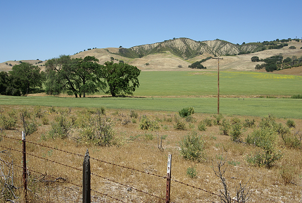 Hey, she held on to her scholarships, made new friends, grew musically and over all, had a great time this year, so it sounds pretty successful to me. I’m starting to have problems separating the trips up since I’ve made so many in the last couple of years, first when we were checking out the school and now either fetching her for holidays or just visiting.
I have noticed that whenever I’m with someone else in the car, I will take the most direct route up to Stockton, or the almost most direct route, since there are two routes, one which is about 20 minutes faster than the other. The slower route is more scenic, however. When I’m not with anyone, I’ll take my time and just enjoy the scenic route, or even get off either of the main routes I’m taking and take a back road, something that Robert Frost writes about in his poem, “The Road Not Taken.”
I did that in February on my planned three day roadtrip when I took several back roads, some that might not even be classified as back roads considering the amount of traffic that was on them. This weekend, I definitely took a back road to get to Stockton.
I started off from home Saturday morning early, figuring that I’d be making the normal 6 and a half hour drive in about 9 hours or so. I took I-5 north, getting a couple of caches in Kern County and depositing a couple of geocoins and travel bugs that I brought along for the ride. I left the Interstate near Coalinga, California for two reasons. The first reason was a dash point near Coalinga that I wanted to get and the other was I wanted to complete the run I’d planned in February to get San Benito County off of my “Counties that I haven’t cached in yet” list. It was a hot day out with temperatures approaching triple digits, which kept most people inside as I drove through Coalinga, but I stopped just to get gas and find one cache in a nice little park. I then headed out of town on HWY 198.
198 is a very winding two lane road with occasional places to pass other slow moving vehicles, but I wasn’t in a hurry, because the rolling hillsides of the area were enjoyable to look at and this was more of a pleasure cruise, than a “numbers run” for caches. I kept glancing at the GPSr screen from time to time and would stop when necessary to find a cache. I figured I’d get a couple of caches in San Benito County, then move further north and get a couple of caches in Alameda County and then Contra Costa County as well. As any cacher knows, things happened and plans were changed on the fly. The further I went along 198 and then HWY 25 into San Benito County, the further I became entranced by the beauty of the place.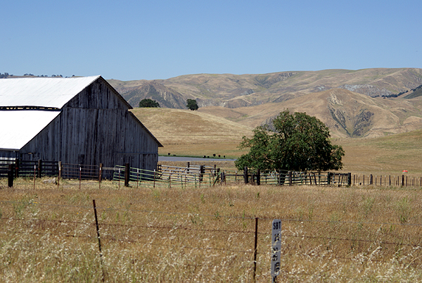
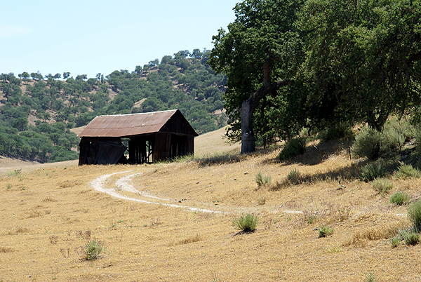
San Benito County is located east of Monterey County in the central portion of the state. It’s very rural and has lots of rolling hills and farms that seem to have a lot of cattle grazing on the land there, as well as some flat valleys where the predominant crop seemed to be alfalfa. The contrast between the bright green fields, the amber hillsides and the dark green scrub oak trees was a photographer’s delight and this might sound sappy, but at one point on the drive, I actually found myself humming America the Beautiful. This seemed like where the author had been when the song or lyrics had been written. But enough of waxing poetically, since I’ll do that further down below.
As I continued to cache along the road, I kept thinking to myself, I was getting behind, but I kept justifying it by also thinking, but you’re getting some great pictures and you’re enjoying yourself. Fortunately, that part of me won out hands down. At every cache location, at every bend in the road, the scenery just improved. There was no way I was going to rush this little drive. Had the particular caches been in more rural settings, they most likely would have been rated substandard by most people, but that’s what caching is all about in my opinion. The journey is part of the adventure. 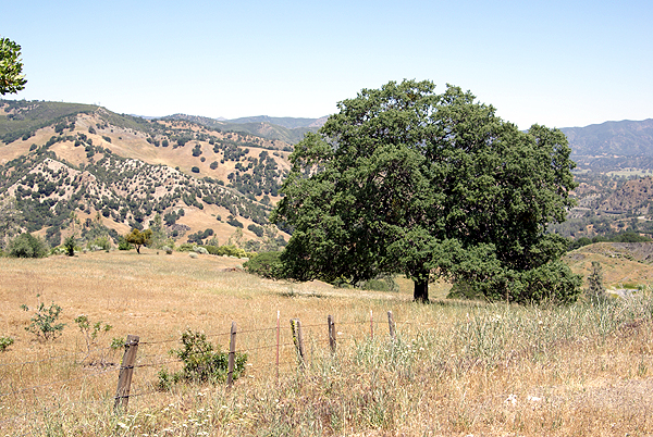 There were micros, mixed in with larger containers that were big enough to hold travel bugs and other swag. It was a good mix of different sorts of caches, with the scenery helping everything along.
As I started entering back into suburbia, just south of Hollister, I looked at the clock on the dashboard of my car and realized that it was 3:30. Having left at 7 AM, I was already 8+ hours into my trip and still had a ways to go to get to Stockton. There was no way I was going to head up into Alameda County at this point in time, so I decided to forego those two other counties and head back over to the Interstate and get up to Stockton, because we still had to pack my daughter’s dorm room into the van for the journey home the next day.
My daughter had a music gig the following morning, which meant that I had some free time to myself and I had one of two options. Watch the hotel’s free cable TV, or go out and explore some more back roads and do some more caching. Well, that was a no brainer.
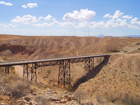
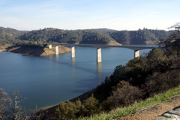
Because I’d originally created a Router PQ for this trip, the end of the route ended about a mile beyond my hotel room, so I decided to start caching at this end and work myself back along my original route and see how far I could go. 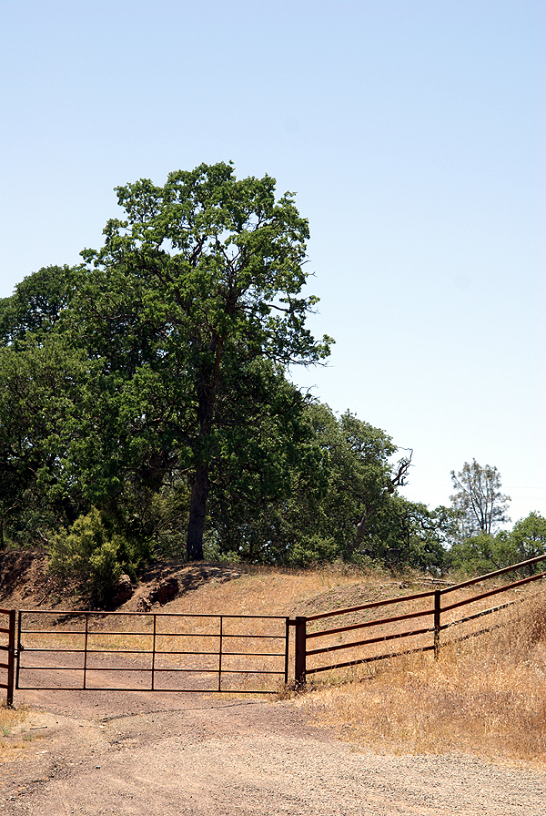 This route took me through the delta region of central California, lush farmlands, narrow bridges and very flat vistas. There was one point where one of the bridges that I crossed had gates on either end and stop lights, because it was meant to rotate in the middle to allow boats to travel on the waterway it crossed. I can’t remember ever seeing another bridge like that before in California, yet here it was on the border of San Joaquin and Contra Costa County.
Yep, I’d driven far enough on this other back road, that I’d made it to Contra Costa County, where I found two more caches before deciding that I needed to get back to Stockton so I could await my daughter’s return from her gig. We came home via a more direct route, although we did do a side trip in the Fresno area to grab a couple of virtual flags and another dash point.
Overall, the trip was a wonderful excursion, although a bit exhausting. I wished I’d had one more day. It still feels like I’m behind on my sleep and as if I need a weekend to recover from my weekend. Still, it was worth taking those back roads. I’ll leave you today with Robert Frost’s poem
The Road Not Taken by Robert Frost (1915)
Two roads diverged in a yellow wood,
And sorry I could not travel both
And be one traveler, long I stood
And looked down one as far as I could
To where it bent in the undergrowth.
Then took the other, as just as fair,
And having perhaps the better claim,
Because it was grassy and wanted wear;
Though as for that the passing there
Had worn them really about the same.
 And both that morning equally lay
In leaves no step had trodden black.
Oh, I kept the first for another day!
Yet knowing how way leads on to way,
I doubted if I should ever come back.
I shall be telling this with a sigh
Somewhere ages and ages hence:
Two roads diverged in a wood, and I--
I took the one less traveled by,
And that has made all the difference.
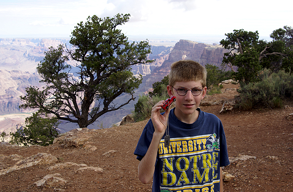
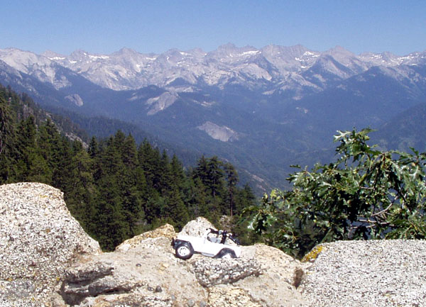
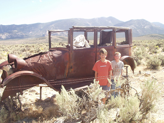
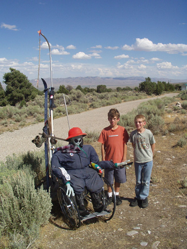
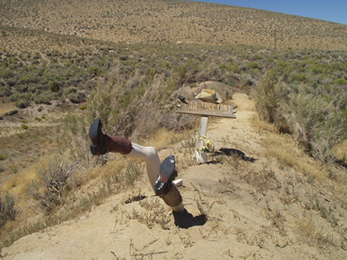
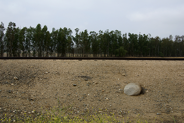
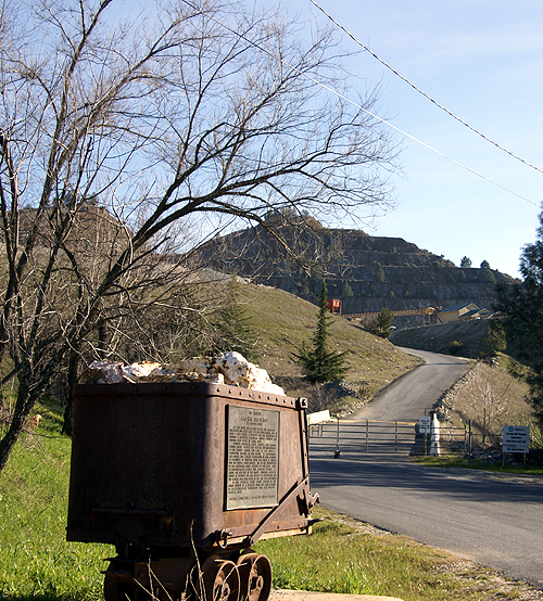
Pictures were taken at or near the following caches:
A Green Valley View by Sloigo
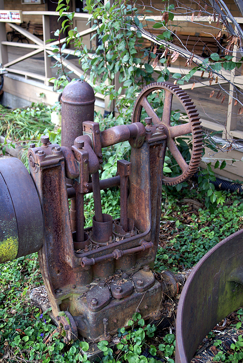
Old School by Pal_Al
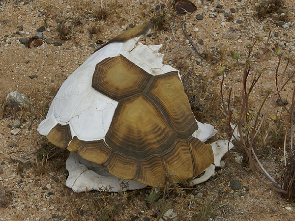
Stop Staring at Me! by Momaqna
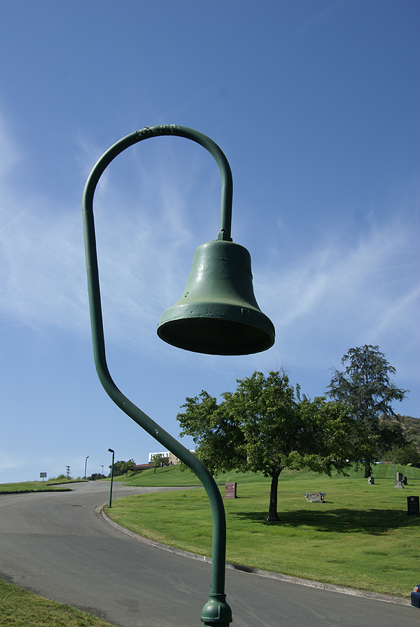
Take a Sit by Scooterman
Are we there Yet III? by Sloigo


 If I wanted to see just the Trails or just the Topo, I'd repeat steps B-D and turn off the other maps I didn't want to see.