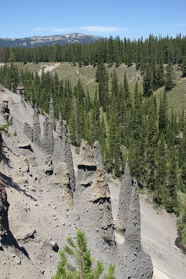
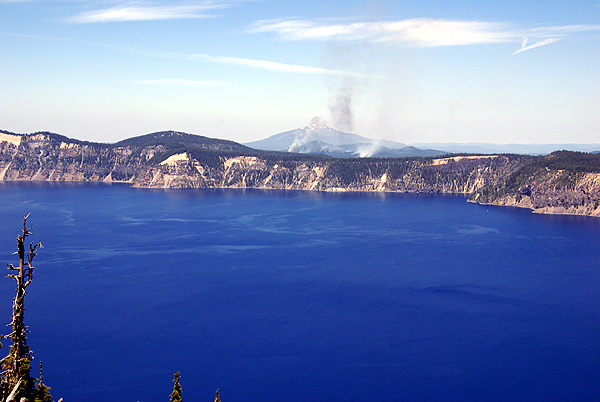
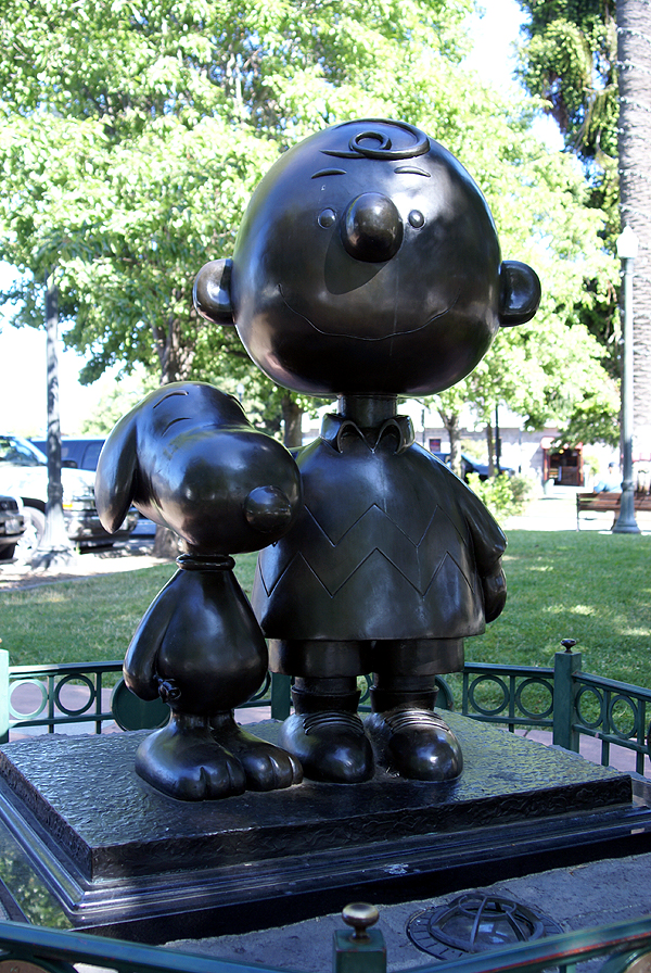
After leaving Crater Lake, we headed up to Bend, Oregon where we were planning on spending the night with friends of ours. A real mattress and a hot shower were looking really good after tent camping it for the past week. 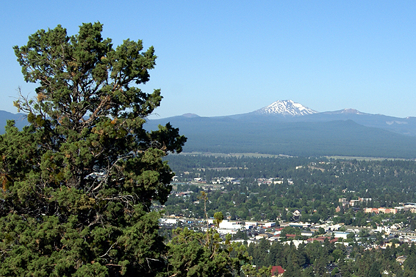 We cached at several places along Hwy 97 and got up to Bend around 5:00 in the afternoon.
We freshened up and then went out to dinner and my friend took us to see
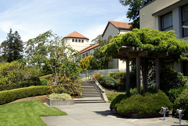
some of the sites of Bend. Bend is one of those towns that has grown a lot in the past 20 years or so. It seems to draw from the surrounding area, but also draws people from other areas of the country. Two teachers with whom I've worked in the past have since moved to Bend and gotten teaching jobs up there. The urban planning of the town seems to have worked and it was a pleasant place to drive around.
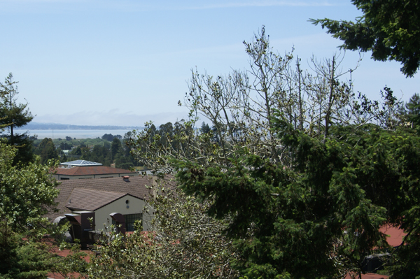
Eventually, we ended up on the top of Pilot Butte. Pilot Butte is a cinder cone volcano, pretty much perfectly symmetrical that juts up several hundred feet above the surrounding terrain in the middle of Bend. From the top, you can
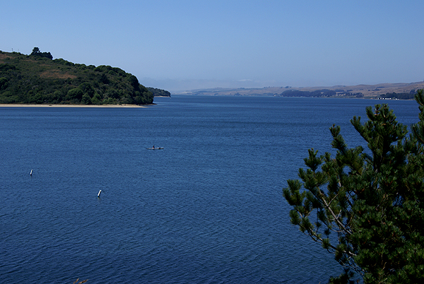
get a 360˚ view of the city. To the west,
the views are dominated by the Cascades, with Mt. Bachelor, Mt. Jefferson and the Three Sisters taking center stage for the view. They were hard to see, because of the setting sun.
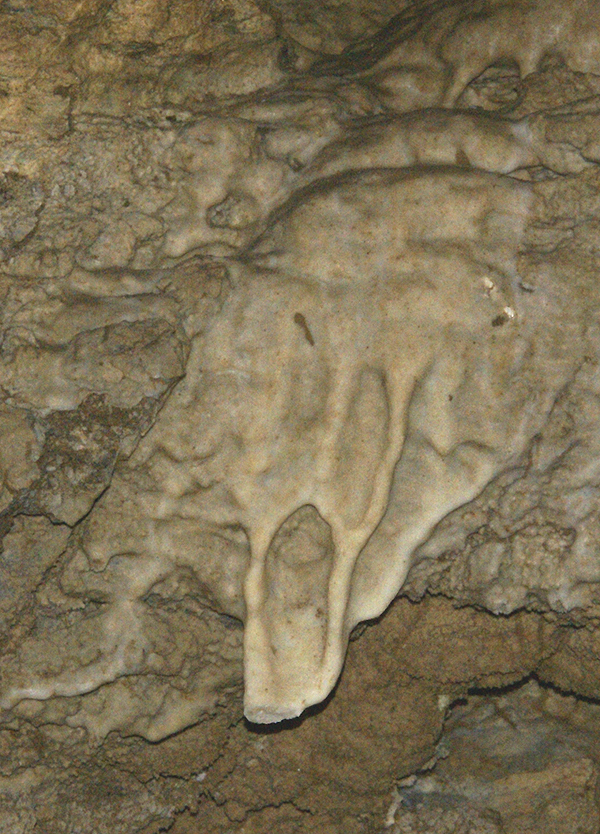
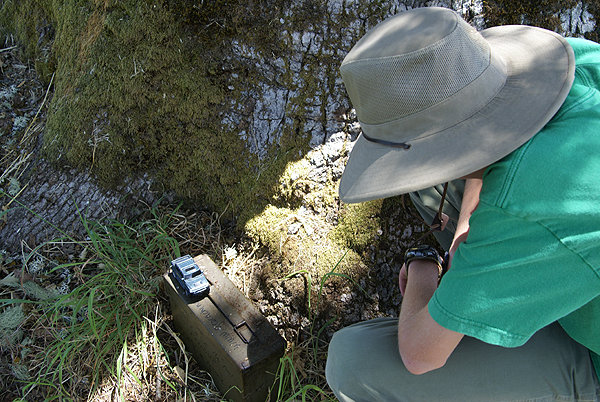
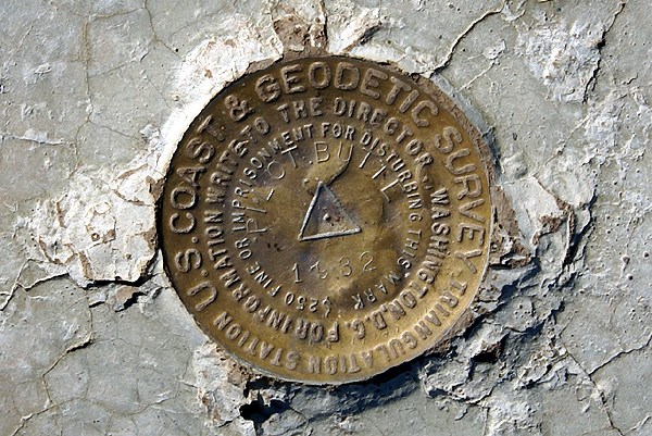
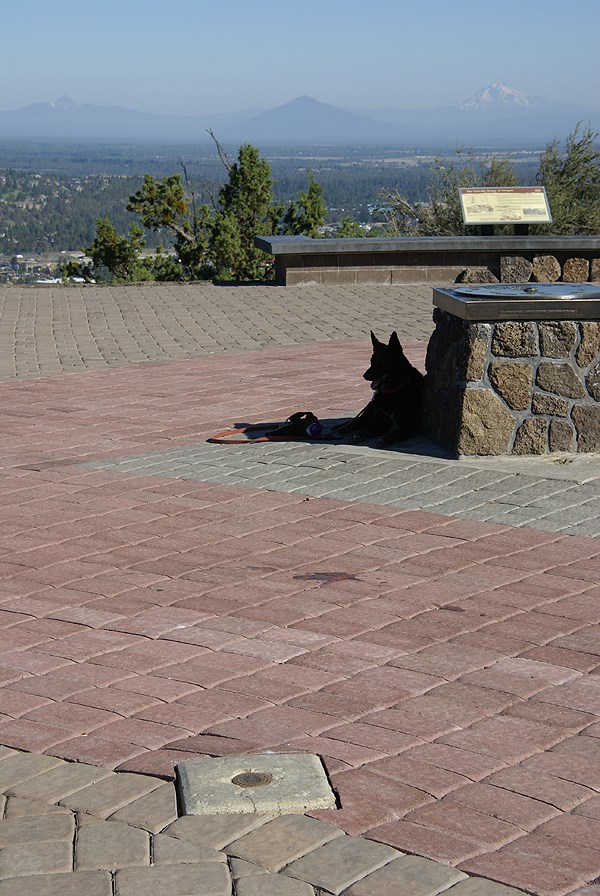
As we walked around the top of the Butte, I kept saying to my friend that there should be some kind of cache at the top of this butte. It was too good a spot not to have a cache. So we checked out a couple of areas in the hopes of getting a serendipitous find, but couldn't find one. While looking for a cache, I spotted a benchmark. That should have been a no brainer to find up on the top of this hill. I didn't have my camera with me, so I was a little disappointed that I wouldn't be able to log the benchmark, but I still enjoyed the views.
When we got back to my friend's house, I checked on-line to see if there was a cache up there and discovered there was a virtual cache on the top, one that I actually had in my GPSr ready to be found. Now,
I was really kicking myself. Not only had I neglected to bring my camera along, but I also hadn't brought the GPSr or PDA along for any needed information that I might have to get. In reality, when looking at the cache page, I also realized that we'd looked right at the thing that we needed to get information off of to get the cache. It was at that point in time that we decided that we'd got back there the next morning and get the cache and also take pictures of the benchmark.
The butte has a road that you can drive all the way to the top of it. We took that road the evening before, but in the morning, the gate was fenced up, so we decided that we we would hike to the top. We had a little trouble finding the parking lot for the trail head, but once we found that we were off. The hike can go one of two ways, either taking a paved road, or take the spiral
dirt trail that literally encircles the butte while taking you to the top. We opted for the dirtier path and were rewarded with much less people than had we taken the paved path which followed the road and then became the road midway up the hill.
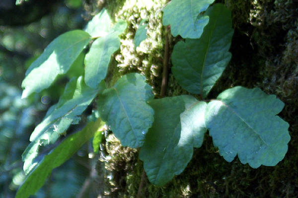
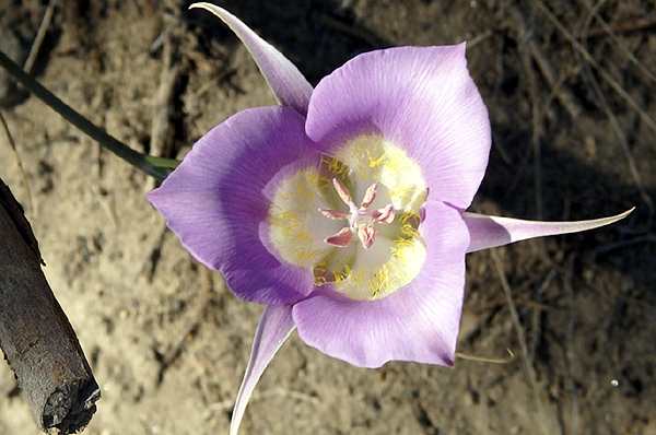
There were several wildflowers alongside the trail, both of which I was unfamiliar with. The trail also appeared to be more shady than the paved path, another bonus and had regular benches to rest along the way. The steady climb got my heart pumping, but I need something like that more often than not, so it was a good workout. The top of the hill being the prize was worth the climb. Plus, we both felt we'd earned this benchmark and virtual.
I took several pictures of the mountains, plus a couple of the benchmark. We got the information off of the monument at the top and then we started back down the hill. It was an hour an a half longer than what I'd planned on being there, but it was well worth the side trip. I'm glad my friend had taken us up there the night before. Once back down to the van, we hopped in and headed to Idaho.
Pictures were taken at or near the following geocache:
Virtually Pilot Butte - by Baron Max and Mrs. Max

 which kept us busy. Once we'd finished our camping trip at Redwoods National Park, we headed north to Idaho to meet up with my dad at my parent's place at Couer d'Alene. They've owned this cabin for over 20 years and it's a nice spot to relax, while watching the boats go by. We haven't been able to go up there much, mainly because it's a three day drive of at least 8 hours a day. That's a long time for a kid to be strapped into a car seat with not a whole lot to do except look out the window. So both of the boys got to experience Idaho for the first time and they loved it.
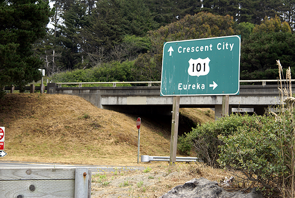
  thing about the drive. The Tadpole and I left Crescent City and headed north toward Bend, Oregon. There's a friend of mine in Bend who