That is the question. I’m in one of those dilemma modes where I think I’m going to enjoy GeoDashing, but not sure whether I want to start doing something else.  The more I look at the game, the more it intrigues me. It’s very similar to GeoVexilla, in that you need to get to within 100 meters of a particular point. There’s no flag, just a spot on the map, but it’s competitive, with monthly competitions. You can join teams, or you can just have fun going it alone.
This Saturday, the Tadpole and I captured some flags, four actually. We’d made the conscious decision to get an El Salvador flag in Camarillo, where my friend Chaosmanor lives. We though we’d hook up with him and do some caching after capturing that flag. Well, earlier this week, a bunch of new flags popped up on the map, so we ended up getting a couple of other flags on our way there, one in Pasadena, and one in Sunland. I thought I’d check the map one more time Saturday mornin g, just in case and sure enough, another one had popped up in Oxnard, only 10 miles beyond the one in Camarillo. All were easy to get, requiring no hiking, outside of the 200 feet hike we had to do in an alleyway in Pasadena.
Anyway, to make a long story short, after we got the flags, we did a very nice loop of caches in a very nice area of Camarillo called the Spanish Hills. All of the caches, for obvious reasons, have Spanish Hills in the name. We initially ended up finding four of five. At the last cache, we noticed a couple getting into a truck just as we were pulling up, so after finding that fourth cache, we decided to go back and see if they were geocachers heading the opposite way we were. We hadn’t been able to find Spanish Hills Overlook, so we thought if we hooked up with other geocachers, we might be able to succeed. We caught up with RonFisk and EeeBee and discovered that they’d already found the Overlook. They supplied us with a small hint that helped us in eventually finding it. It was a tough hide, but I was using some preconceived ideas while searching which is why we both missed it the first time.
It was then on to lunch at the local In-N-Out, and then we took a chance and drove over the Ch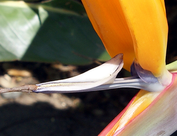 aosmanor’s place in the hopes that he might be there, which he was. We talked geocaching shop while he ate lunch, then went out caching. Sometime during the afternoon, we also did a lot of talking about GeoDashing. I actually think it might have been during lunch, but that’s beside the point. I’d known about Dashing for quite awhile, actually seeing Chaosmanor get a dashpoint when he hid this cache over three years ago. I couldn’t quite grasp the concept at that time, but I’m now seeing the allure of it along with the other GPS games on the site. It’s something else to do while you’re geocaching.
With GeoDashing, you make your way to prescribed points during a month. If you get within 100 meters of the point, you score points for yourself, and if you’re on a team, you also score points for your team. If you’re the first person to the dashpoint, you score three points. If you’re second you score two and all subsequent finders of the dashpoint score one point. There can be up to  five people on a team.
I’ve looked at teams and I’m not sure if I want to become that involved in it yet. My thought process on this is to do some “freestyle” dashing for a couple of months to get my feet wet and then find a team to join. Plus, if I decide that I don't like GeoDashing, then I won't have let a team down by joining it and then not contributing to the team effort. I’ve already noticed that there’s a four person team in my immediate area that I could join. That might be interesting, or I could start a new team too.
I’ve looked at the game for April, thinking that I might start there by getting a dashpoint or two this month in the last four days, but there’s nothing really close to my area that I could reasonably get. However, in May, I’m taking a road trip to Stockton and there are several that I could get next month. Three are close to my local area, and there are several that I could get in the central valley while on my trip. Needless to say, I probably need a new obsession like this like I need a hole in the head. But it’s not like I’m adding something else that’s going to require a lot of time, rather I’m adding another layer to something I’m already doing. Yep, and Denial is just a big river in Egypt too.
The first two photos are from GeoVexilla Flag captures - Singapore and El Salvador. The last two pictures were taken near Spanish Hills Paradise - by Boofers

1 comment:
I tend to look at geodashing as a monthly form of The Confluence Project, which goal is to document every spot on the land surface of the Earth where degree lines cross. The basic "get within 100 meters" rule of GeoDashing and GeoVexilla comes from The Confluence Project, actually. I've talked about dashing to a number of people, and most of them just don't get the allure of trying to get to a semi-randomly-chosen-by-computer spot, and then writing about what's there, and maybe a little about the trip to it. Being something of a chatty fellow (no, really?!?), I tend to write travelogues (check out this URL for a comparatively-short report on one of my favorite dashes, from Fall of '06; click on "Report": http://tinyurl.com/4k7fld), unless the spot is just terribly dull. I'll add snippets of local history if I can, as well as interesting things I might have seen along the way.
I've been dashing since October of 2003, and I tend to use it to expand my caching horizons. In other words, when the new month's dashpoints (DPs) come out, I look for ones that I can get to, or that are worth trying for, and will then look for caching in the area, or along the way. This works especially well for any DPs in the Mojave Desert, or up the coast past Santa Barbara. As the drive will be a minimum of two hours each way in both cases, it is foolish not to set up a PQ for caching. I'll also look for a few benchmarks to document, as well; I'm always willing to spend 15-20 minutes, especially if it means that I can Recover the Mark.
Ultimately, it comes down to maximizing my gasoline investment. Driving 100+ miles for three points or a GeoVexillum is a lot more justifiable if I can do some caching, too. And the GPSgames site puts an emphasis on "seeing" the world, not just traveling through it, until one finds the little box. I like that; far too few people actually see the world around them. Webfoot and I have had several discussions about the failure of the average Terran to see anything more than about six inches past his/her nose. The GPSgames.org site forces us to look outside the Virtual Cubicle that we erect around ourselves. This is a Good Thing, IMHO :-)
Post a Comment