As noted in the previous log, we did some geocaching in Montana, then headed back to Couer d'Alene. Interstate 90 has some very scenic locations along it in the panhandle of Idaho, so we had ample opportunity to enjoy the outdoors as we looked for caches. One of our stops along the way, was in Wallace, ID, a small town, that obviously has become a tourist stop for vacationers to visit as they travel on the interstate.
 Similar to the movie CARS, Wallace was bypassed by the interstate when it was created several decades ago. Unlike Radiator Springs in the movie, the town wasn't bypassed by miles, but rather by feet in elevation. Wallace is located in a narrow river gorge, with no way for the freeway to go anywhere except up, which is what happened. The interstate was built along the side of the canyon over the less populated part of the town. With several exits, tourists can get off with ease, visit the town for lunch or dinner, or perhaps the night, then quickly get back on the freeway to continue their travels.
The cache we found in Wallace was near the old train depot. Most of the tracks are now gone from this section of town. Looking at old photographs in the nearby museum, this particular train depot was a bustling building, serving both freight and passenger trains. Those days are now long gone as evidenced by the lack of track around the train depot.
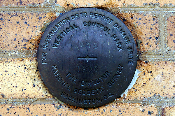
The cache was an easy find with the name of the cache pretty much giving away its location, but it was still fun to find. After finding it, we noticed the depot was now a train museum, so we decided to pay the entrance fee and tour the facility. We also noticed a beautiful benchmark on the side of the building. Before touring the museum, I had to go back to the van and get the camera so I could document our visit to the benchmark. I took a couple of pictures and then we went inside to tour the museum.

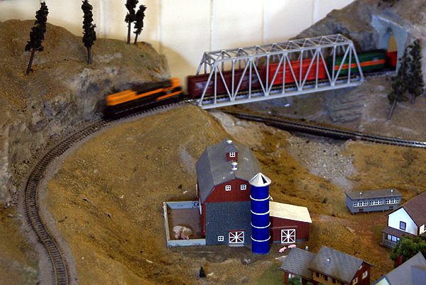
The museum was small, befitting a small town that it was in, but it had a bunch of historical remnants from the lines that went through this area of the country. There was even a small model railroad exhibit that people could run free of charge, a very nice touch. I found a picture upstairs in the museum of a train wreck that had been caused by a snow avalanche. Snow had taken out a trestle, causing several railroad passenger cars to drop down into the gulch. Amazingly, no one was killed in this avalanche and eventually after 11 hours, everyone of the passengers had been rescued. I took a picture of that wreck and
posted it as part of my log for that cache, since the picture was from a different angle than the cacher had
posted on his cache page.
Upon arrival home, the fun began. Well, I'm not sure it's fun, but it was interesting. When I looked up closest benchmarks to the cache we'd found, I found two that by all indications were supposed to be right on top of the cache. That probably meant that there was a good chance that at least one of them was the correct benchmark for the one we'd found. That, was not to be the case however.
Of the two benchmarks listed,
this one appeared to be the most promising based upon the description on the benchmark page. The description of the benchmark on the page states that this benchmark is set vertically in the south face of a brick building (the train depot) 4.5 feet higher than the sidewalk. The benchmark was monumented in 1935. That's where the confusion steps in, because the benchmark in the side of the depot is dated 1986.

There have been four cachers that have logged this benchmark as the one monumented in 1935. None of them posted pictures. Had they posted pictures, or at least looked at the benchmark page before logging, they would have realized that this benchmark is not the one in the description. We already had our answer to the puzzle, because we'd toured the museum previously. When the interstate came through, it was either destroy the train depot because it was going to be in the way of the bridge the freeway was going to be on, or move it. Civic leaders decided on the latter and moved the building 200 feet west from its original position. Whether the USGS decided to put a new benchmark in place at that time is unknown, but the original placement and description don't match. You can actually see the new benchmark in the last photo on the right hand side of the building near the entrance to the museum.
There is also some geographic confusion. Since both benchmarks are fairly close, there really isn't a way to designate how many feet they are apart from each other if they are less than a tenth of a mile away. That means the database can say there's a benchmark right here, but it could be up to 528 feet away. This means that cachers should be extra careful when logging benchmarks, otherwise they're posting bogus logs for benchmarks they're not really finding. The benchmark information
FAQ page indicates that one should try to take pictures of the benchmark, both a close up and one that places the benchmark in its surroundings.
For this reason, I don't log benchmarks that I find unless I've taken a picture of them at the time. I've been on caching outings where we've stumbled across benchmarks, documented them and when we got home, found there were two and three others in the same area. I know for sure that we probably walked right over one of them. But, we didn't take a picture, nor even see it, so I won't log it. And to be honest, I'm not sure why the logging of this particular benchmark, clearly the wrong one bugs me, but it does. I guess I need to get this out of my system since it's just a game and everybody plays the game a little differently.
Pictures were taken at or near the following geocache:
The Cow Catcher - by thehobbler

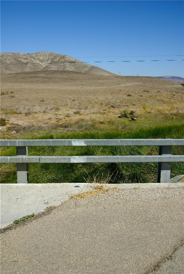
 For those of you who are film buffs, or know the history of this road, the 46 is the road that the actor James Dean died on, back in September of 1955. Excess speed and a car turning left in front of him proved to be his undoing. There are monuments along the road dedicated to James Dean and I found a cache that day entitled James Dean's Last Ride.


