Saturday, I went caching with friends from a couple of places in the southland. We ended up meeting in the hills above Santa Barbara for a caching expedition of "epic" proportions. It didn't work out the way we'd planned it, but that's 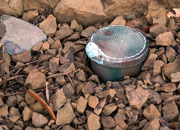 OK, because we still had an enjoyable adventure. Life gave us lemons and we made some lemonade.
When we'd planned this trip, our main goal for the day was to find C' ISMUHU, a puzzle cache by IGBAY OOBAY who is known for his challenging puzzle caches. After finding a couple of preliminary caches, we met up and then drove up to the trailhead to start our adventure. Unfortunately, the area where this cache had been placed was closed for rehabilitation of the flora due to the Gap Fire that roared through the area last July. Signs were posted everywhere stating the area was closed and would be closed until September 2009. So we punted.
The signs also stated that the Lizard's Mouth area along this road had been re-opened, so we decided to drive up there and try our luck with some of the caches up there. We got up to the end of the road and found a place to park 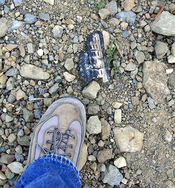 and then started a hike down to Western Skyway 3. The dirt road is apparently being let go, as it was quite rough and rocky and a 4WD vehicle would have been needed to get down it had it been open, but it was closed to vehicular traffic probably due to the fire.
Since we were hiking, it made for a pleasant walk without having to worry about traffic coming or going along the road. The distance to the cache was approximately .31 miles, but we walked over a half mile down to get to the cache because of the way the road bent around the hillside. At one point, I thought we were going to have to turn back because my GPSr was making it look like the cache was on the other side of the ridge we were walking around. Two more steps or so and the GPSr righted itself and we were in the ballpark again and on the right trail. I'll blame signal bounce for that one since we were very close to a large cliff as we were walking.
Once at ground zero, I wasn't very optimistic about finding the cache. The entire area had been burned out from the Gap Fire and there wasn't much living  plant material around. I spotted a melted piece of plastic and expressed my thoughts that we might be very lucky if we were able to find the cache due to the fire that had passed through this area. But when we looked at the cache page, we noticed the cache had been found on the 18th of January, so we knew it to be here, unless it had been muggled between then and now.
As we continued to search, I spotted something that didn't quite look right and asked the Tadpole to check it out. Sure enough, it was the cache. As you can see from the picture, the cache had suffered some fire damage, but all the contents were OK. For the most part, it was pretty much out in the open the day we found it. The picture shows exactly how we found it. I can only imagine that it had been hidden under one of those infamous geocaching SPRs (Suspicious Pile of Rocks) to have survived the fire with minimal damage. I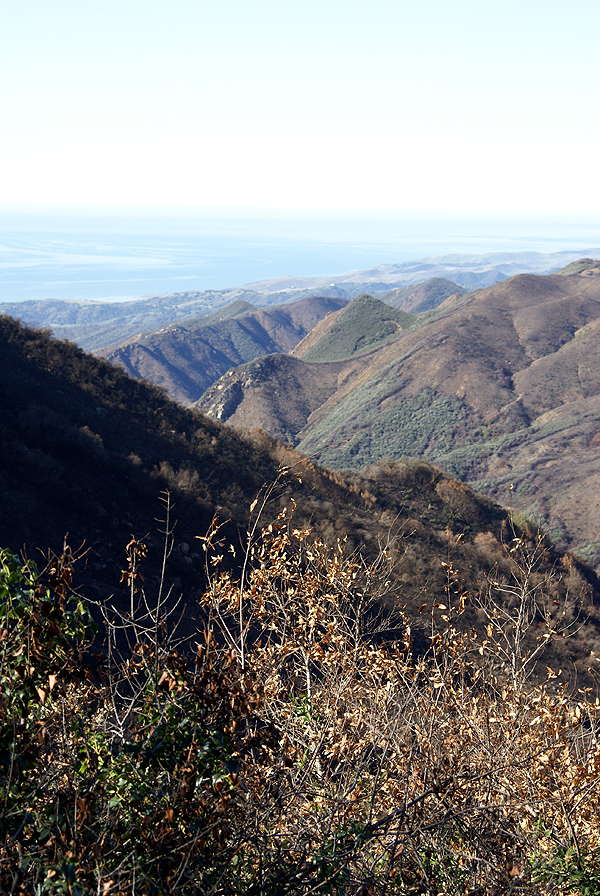 had to put this one on my 5% list, after it had survived what it had.
A similar fire passed through the Chino Hills area recently, burning 95% of Chino Hills State Park. On a ridge, just off a fire road in the park, is the cache San Juan Hill. This cache was the second cache I had ever found. It was found after a 2 and half mile hike from the Orange County side of the park. We met other geocachers on the trail that day and the cache has special meaning to me, because it was the longest surviving cache that I'd found. Unfortunately, it's probably gone due to the fire that went through the park last year. However, seeing the Western Skyway 3 cache, I feel there's still hope. Since the Chino Hills State Park is still closed, I guess we won't know for sure for a little bit. I will continue to hold out hope in the interim.
Pictures were taken at or near the following geocache:
Western Skyway 3 - by GeoBigDogs
Monday, February 2, 2009
Survival of the fittest

![]()
![]()
Subscribe to:
Post Comments (Atom)
No comments:
Post a Comment