A friend of mine, who I introduced to geocaching, described geocaching as "Hiking with a purpose." I would respectfully have to disagree with him. I guess it's probably because I grew up with camping and hiking. My first camping trip (to Yosemite National Park) was with my parents when I was four years old. Everywhere we camped, we hiked. If you didn't want to hike, you stayed in camp, unless Mom decided to go on a hike too, which was many the time, so we learned to hike.
When we go camping today, we hike. If it weren't for geocaching, we'd still hike, but I think geocaching has expanded those hikes to new and different places. As a travel enthusiast, I like to take new roads when I go somewhere. Driving the same road, back and forth to the same locale isn't what I'd like to do, although I know people who enjoy that. It's just not for me.
That's probably why we end up going to so many different spots when we camp. Camping in the same place is OK, but different locales afford us new and different experiences. And, obviously, it also gives us more chances to geocache. The hiking aspect of geocaching comes into play, but it's not the reason we geocache, nor is geocaching the reason we hike. We hike, because we like to be outdoors. I like to watch the scenery go by.
When we hiked to Rainbow Falls south of Devils Postpile, we took the shuttle bus from our campground to the trail head. We could have just hiked from the campground up and back, but that would have been the same route. We also had other things to accomplish that day, so by taking the shuttle to the trail head, it shortened what would have been a five mile round trip hike into a 3.8 mile hike. It was still a significant hike, but a little less strenuous and thus gave our legs a little more energy for later in the day.
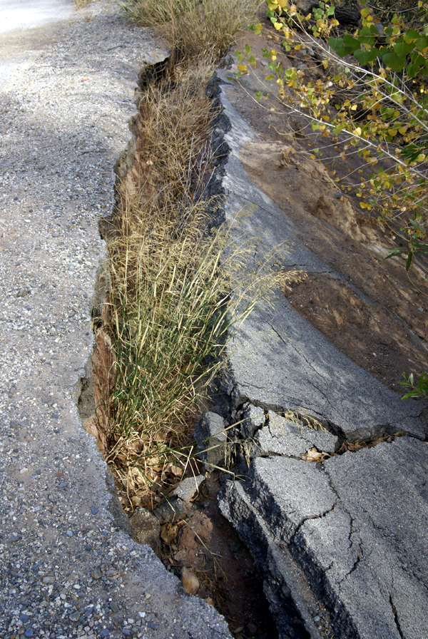
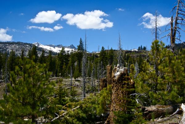
The hike down to the falls took us through a major burn area from a lightning strike fire that started at the southern end of the park and burned through a major part of the park in 1992. The area, almost 20 years beyond that fire still shows the scars but is slowly rebounding. There were many old snags standing as sentinels over the landscape and just as many fallen trees. We could see evidence on the downed logs of recent bear activity as the bears looked for grubs and termites in their quest for food. The animals were helping with the decomposition, which was further enhancing the soil, allowing the new growth of plants to flourish.
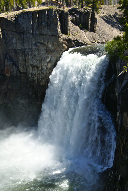
The falls were spectacular and we got there at a good time. The sun was overhead and because of the large amount of water in the San Joaquin River, the water was plunging over the 101 foot precipice at a high rate, causing a lot of mist to spray up at the bottom, creating the signature rainbow for which the falls are named. Actually, if you look closely in one of the pictures, you'll see a double rainbow.

Afterwards, we hiked down to the lower falls, a smaller waterfall further down the trail and outside the park boundary. Apparently, there were only two other people who took advantage of that trail while we were there, because we saw them at the brink of the lower falls. We didn't see anyone else on that portion of the trail the entire time we were on it. Alone in the wilderness.
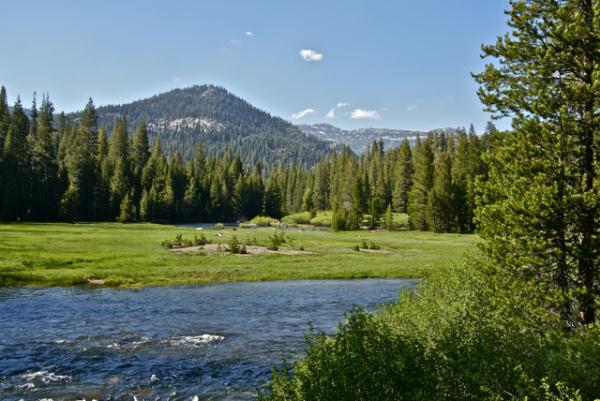
The return trip was via the main trail that runs along the eastern edge of the park from the falls back to the postpile and beyond to the campground at the northern end of the park. While on that trail, I kept watching the mountains to the west of me. Trees would obscure them for awhile and then allow me different glimpses of them further down the trail. I kept watching this one ridge as it slowly blocked the view. Eventually I had to stop and take a couple of pictures, otherwise I figured I might lose the view entirely.
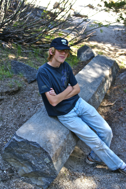
Every time I stopped, it seemed like there was another group of hikers heading out to the falls. The trail is very level, and thus, a very easy trail for all age groups, even if it is 2.5 miles long one way. I would think that most people could do this trail, even if they weren't in the best of shape. It would be a good workout for those not in tip top shape and a stroll in the park for those that were. I probably fit into the former as opposed to the latter.
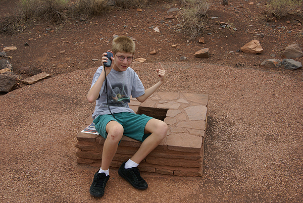
The common question I ended up getting by most of the groups was "How much farther are the falls?" Since I had an earthcache at the falls in my GPSr, I was able to give them "crow fly" mileage at least, but since the trail went relatively straight to the falls at that point, the GPSr mileage wasn't that far off.
 The interactions with other hikers were pleasant and didn't detract from the overall experience I had on the trail.
 It was a great hike. And yes, there was an earthcache at the falls location. Did we hike out there to get the earthcache? Yes we did. But I think the more important question is, would we have hiked out there had there not been an earthcache out there? Yes we would. As President Kennedy stated in a speech in 1961, "And they may well ask why climb the highest mountain? Why, 35 years ago, fly the Atlantic? Why does Rice play Texas?" The answer is self evident. In reality, I don't feel geocaching is hiking with a purpose. I think, rather, it's another reason to get out and hike.
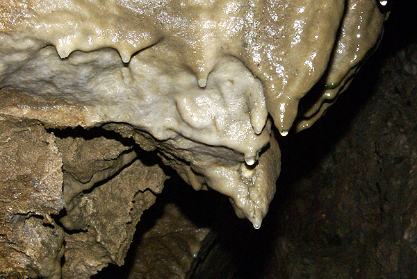
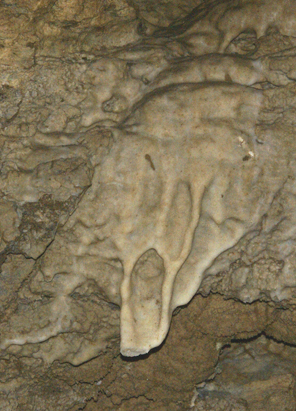
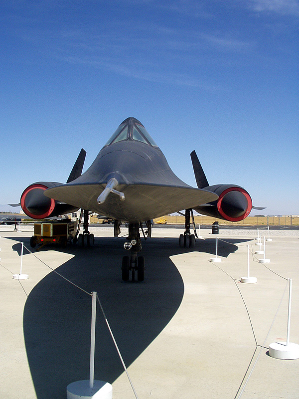
Pictures were taken at or near the following geocache:
Rainbow Falls - Devil’s Postpile NM - by TerryDad2


 which kept us busy. Once we'd finished our camping trip at Redwoods National Park, we headed north to Idaho to meet up with my dad at my parent's place at Couer d'Alene. They've owned this cabin for over 20 years and it's a nice spot to relax, while watching the boats go by. We haven't been able to go up there much, mainly because it's a three day drive of at least 8 hours a day. That's a long time for a kid to be strapped into a car seat with not a whole lot to do except look out the window. So both of the boys got to experience Idaho for the first time and they loved it.
  thing about the drive. The Tadpole and I left Crescent City and headed north toward Bend, Oregon. There's a friend of mine in Bend who