9 years ago today, I was in a Where's George chat room when I first heard about Geocaching. Later that evening, I looked over the site, checked out the FAQ page and signed up. 
Today, I went out and celebrated my "anniversary" by finding a couple of caches near where I work. I've seen both types of hides before, but they were creative nonetheless for suburban type caches. I enjoyed the afternoon and had a good time finding the two caches. With those two finds, I'm currently at 2979 finds. That's an average of 331 finds per year. It's been fun and I'm looking forward to the next year. Who knows what the next year or years will bring, but I'm sure I'll find some interesting caches on the way, hopefully most that will make me think.
Picture was taken near the following geocaches:
Wilderness Park Cache - by Elliott Aldrich
7 Miles Away and a Half Mile Hike - by Webfoot
Friday, March 5, 2010
Anniversary


Wednesday, March 18, 2009
Tucked Away Treasures
After dropping off the two travel bugs near Disneyland, the Tadpole and I headed south into Santa Ana. We had two reasons for heading that way, the first being a virtual flag just around the corner from one of the elementary schools I attended. Amazing as it may seem, we didn't move once after my parents purchased the house in south Santa 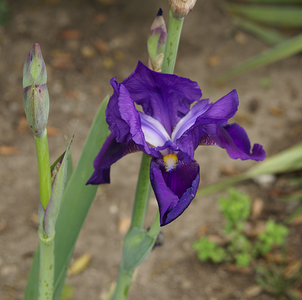
Unfortunately, I might not score any points for this flag. The GeoVexilla site has been down for almost a week. The map shows up on the main page, but no flags do. One of the other game players kept a daily database of all the flags and sent me a spreadsheet of all the flags that were within 100km of my home coordinates, so I was able to score that USA flag and the flag of Cyprus just north of Anaheim and Disneyland. If the site doesn't come back soon, I might not score the points, but that's OK. It was the adventure that counted anyway.
After scoring the USA flag, we headed east, just beyond my 6th grade school. There was a geocache about a half mile away that had looked intriguing when I'd scouted it out last week. Sarah May Downie had been placed in a small little park located at a rather odd intersection. The oddness of the intersection, five streets all coming together, made for some interesting pieces of land. The park was on a small triangular shaped piece of land between two of the streets that converged on this intersection, too small for a house, but the perfect size for a small memorial garden type of park. It was one of those tucked away treasures that all of us have stumbled across from time to time.
The cache page said the cache was hidden in a herb garden. I'm not sure about the herbs, but there was a variety of plant life. There were several bottle brush bushes that had grown fairly tall. I could hear two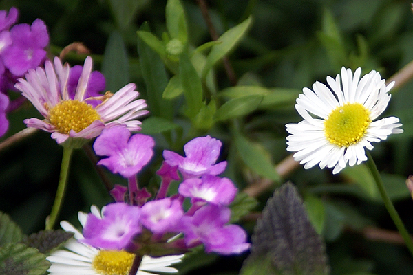
There were lots of dime sized daisy type flowers, scattered in the raised stone beds along with some lantana which is very drought tolerant. They tend to have very small purple or orange flowers on them. In the picture, you can see some of the purple lantana near the white daisy. We found the cache, well hidden in one of the raised beds, very well cammoed. I seriously doubt this particular cache will be muggled. It was well done and it gave cachers a reason for being there looking for the cache and allowing cachers ample opportunity to look natural in the park, without having to resort to crawling in bushes to try and find a smallish container. That's always a plus when you're a middle aged man like myself and caching alone. Having the Tadpole along is much easier in the long run, but I appreciate caches like this anyway.
Just to the north of the park, was an old bridge that crossed Santiago Creek. We decided to walk over to the bridge in the hopes of perhaps finding a benchmark, but once we got over there, I realized there wouldn't be any, at least of an older variety. I can remember that Santiago Creek was a major barrier in many areas of Santa Ana with only major thoroughfares crossing the small stream crossing. During rainy times however, the dry stream bed usually became a torrent. There had been an older bridge 
We could see the old piers for the bridge on the north side of the new bridge, which had been fashioned to look like a 1940s style bridge. It was very well done and tricked me into believing that it was much older than it really was. Once we got up close, I could tell the bridge was less than 10 years old. The concrete was very smooth and new looking. We didn't find any benchmarks (I checked later on the site and no benchmarks were within a couple of miles of the bridge), but we enjoyed exploring it and the Tadpole seemed to enjoy the local history lesson I was able to give about the area when I was growing up. It was another enjoyable father/son kind of day.
Pictures were taken at or near the following geocache:
Sarah May Downie - by Rick&Liz

Tuesday, January 13, 2009
Exploring your own backyard
I'm pretty sure that I've noted in other posts about one of my general likes about geocaching. When I first got involved, most of 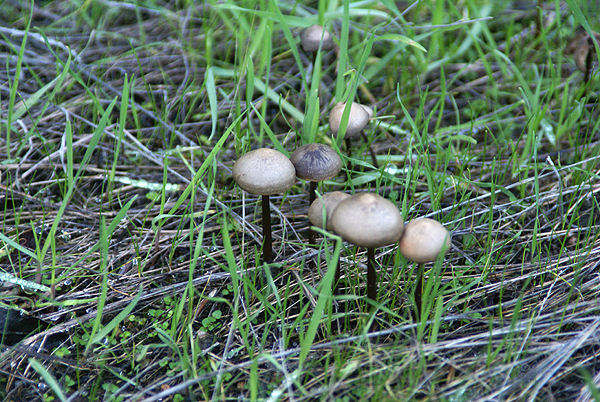
3blackcats and I did just that this weekend, taking a ride up into Azusa Canyon and exploring a trail that supposedly leads up to Silver Mountain. I'm not sure whether it does or not as we were relying upon the two cachers that hid 6 caches between them along this slightly strenuous trail. The trail rose gently from a road turnout, overlooking Morris Lake Reservoir and dam. The lake was low and there was a substantial bathtub ring along the lake, but I'm sure that was in preparation for spring runoff because they were 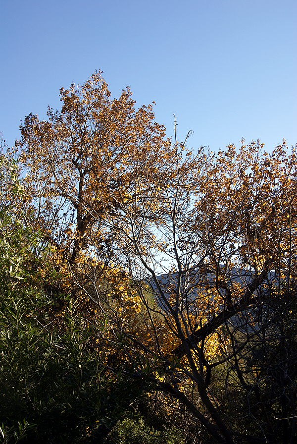
I'd never been up in this canyon, either by just car touring, or hiking, so this was another case of geocaching getting me out to explore the gems that are hidden in my own backyard. I know in the past I've written about my first cache find which took me to a park, only seven miles away from that I'd never heard of before that day when I went hiking with my two sons to find a cache. I've explored quite a bit of that park since that time and will go back again in the near future to hide several more caches. From a geocaching perspective, I view the caches as my spot on the geocaching map and yet 8 years ago, it wasn't a blip in my mind.
With the rainy season upon us in Southern California, the area where we hiked has "greened" up tremendously, so much that we were walking in many spots on a carpet of grass as opposed to a dirt trail. I'm not much of a botanist, so I don't recognize all of the plants alongside the trail, but there were berries in profusion in one area and mushrooms growing in the shadows that hadn't seen much sunlight over the past couple of months. There were several non-native plants in the area 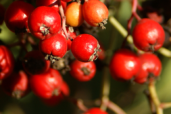
At one point on the trail, we had to stop because a small breeze had picked up. It wasn't the breeze so much as it was this very tall aspen, which is definitely not native to this area, that had started quaking. The wind rustling the leaves of this tree made it sound like we were standing next to a small creek listening to the water flow gently over the rocks. I was reminded of a rain stick that I've seen in stores that sell Australian artifacts. Just as suddenly, the breeze stopped and our creek symphony stopped as well. At one of the cache sites, we noticed a very large Pampas grass plant, quite out of place, yet the position on the ridge overlooking the dam was quite stunning in my mind. I took quite a bit of time composing the picture that I finally ended up taking. I hope I did the subject justice.
The more I geocache, the more I'm drawn back to areas like this. These hidden treasures close to urban America hopefully will 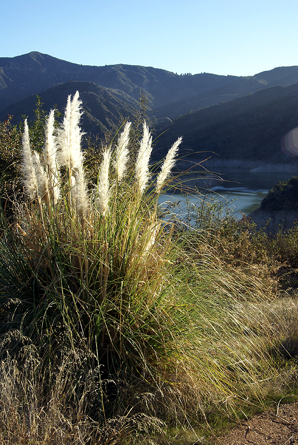
Your "backyard" is probably different than mine, but I would be willing to bet there's still areas that you haven't explored. I encourage you to explore them a little bit more. You might be surprised by what you find out there. I'm already looking at other trails to explore in the coming months before it gets too hot out here again. This is the perfect time to walk on our trails and I intend to make the most of this time.
Pictures were taken at or near the following geocaches:
UJs SILVER MOUTIAN AMO CAN #1 - by Uncle Jon
My Silver Mtn Trail #1 - by nottom
My Silver Mtn Trail #2 - by nottom
UJs SILVER MOUTIAN AMO CAN #2 - by Uncle Jon
UJs SILVER MOUTIAN #3 - by Uncle Jon
UJs SILVER MOUTIAN #4 - by Uncle Jon

